| Area: Sunrise |
Hike Type: Mountain Views | Pass: Natl Park Pass |
| Distance: 8.6 mi RT | Duration: 5-6 hrs | Difficulty Level: Moderate |
| Elevation Start: 6,150 | Elevation End: 6,322 | Elevation Gain: 1,800 +/- |
| Snow-Free: July – October |
-
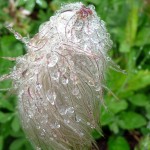
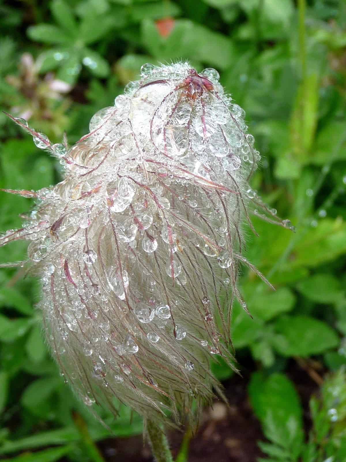
- western pasqueflower
-
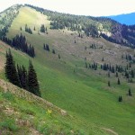
- slide mountain from brown peak mrnp

-
- upper palisades above hidden lake

-
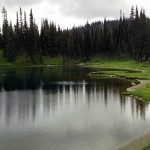
- clover lake view
-
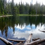
- dicks lake
Visitors en route to Sunrise often stop at Sunrise Point for distinctive views of Mount Rainier, Governors Ridge, Cowlitz Chimneys and Mount Adams. Looking north you’ll see Glacier Peak, Mount Baker and Mount Stuart to the northeast. There’s another reason to stop at Sunrise Point: the Palisades Lakes Trail begins here, dropping to a chain of lakes each with its own personality. What kind of lake do you prefer? A lake nestled between rocky cliffs or surrounded by meadows? Deep or shallow? As we’ve discovered lakes are just like people, no two alike, some shy, others moody, others cheerful. Once you’ve visited the lakes if you’re a strong hiker with energy to burn you can continue on a boot-path to Brown Peak or perhaps even further toward Slide Mountain.
Though we’ve hiked most of the trails within the park, it took a couple of friends to enlighten us about Brown Peak and Slide Mountain, further along a lesser-traveled path above Upper Palisades Lake.
The Palisades Lakes Trail starts from Sunrise Point; the trail is one of those upside-down trails. The hike begins with a steep descent – you know what that means, it means there’s a steep climb on the way back to the trailhead. After descending Sunrise Point the trail skirts several lakes, some accessed by designated trails or cross-country travel.9+
The first lake in the chain is Sunrise Lake directly below Sunrise Point where a rustic overlook built by the Civilian Conservation Corps (CCC) provides a view of Sunrise Lake to visitors of any age, experience or persuasion. After the short descent from the trailhead a designated trail leads to Sunrise Lake, a popular spot.
Depending on the time of year progress might be slow for a couple of reasons – the lakes and alpine aster-studded meadows invite contemplation, a picnic or photography. Do be prepared for capricious weather in September – it can feel like summer one moment, winter the next.
On the way to the other lakes you’ll skirt a ghost forest (right) and peeks of still-lush meadows as you descend. As we hiked we saw that Western Pasqueflowers (Anemone) had gone to seed with their mops of unruly, mad-scientist hair beaded with water-drops. Blue Bog Gentians peeked out from dew-sparkled grasses, reluctant to bare their faces to the morning chill. There we also noticed the green, swirled leaves of hellebore were already striped with gold and the yellowing grasses scattered with dark sedges.
After a break we resumed hiking though slowed to a snails’ pace as placid Clover Lake came into view (right). Clover Lake, the largest of the lakes, is shallow with a sandy shore; the far side lined with subalpine trees. This is an especially enticing lake but on this chilly day we didn’t linger.
Since it was not a warm, sunny day we picked up our pace and continued, skirting Dicks Lake on our way (right). Dick is one of the Tom, Dick and Harry Lakes; Tom and Harry Lakes are set further away from the trail, undoubtedly pot-holes compared to Dicks.
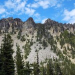
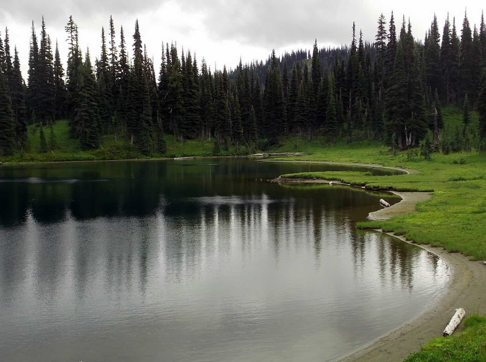
About 3.5 miles from the trailhead the trail skirts Upper Palisades Lake with a designated campsite (left) at an obvious junction. The lake is sheltered by a fringe of evergreens on one side, making it an ideal spot for lunch or turnaround on a cold, windy day. If you’re not ready for lunch or to turn back, head uphill on the path (right) that climbs to Brown Peak. The peak is about 450 feet above the lake on an easily discernible boot-path on steep vegetation (try not to step on the heather). The path climbs to the ridge between Brown Peak and Slide Mountain. It’s a perfect spot to settle a while though you might need to bundle up.
From this notch on the ridge you can see the path continuing as it follows the undulating, ridge to Slide Mountain (right). Lower Palisades Lake lies below; forested Brown Peak (left). Brown Peak might be far enough for most hikers this time of year in September though strong hikers with an early start and good pace might be able to carry on to Slide Peak; note there is a significant high point that must be negotiated (6,620 feet) before Slide Mountain (6,322 feet). From the “notch” it is about 1.5 miles to Slide Mountain, further away than it looks.
Near the evergreens bracketing our notch the smell of elk was strong and pungent; though we did not see them we sensed their presence. Harebells, more than we’ve ever seen in one spot, danced all along the ridge-line as if they were saying goodbye to summer.
Since rain showers were imminent rather than heading to Slide Mountain we hiked the short boot-path to the summit of Brown Peak. For views you’ll need to peer through the thicket of trees that encircle the summit.
As we descended the temperature suddenly plummeted, the wind picked up and we could see a squall marching purposefully toward us so we scurried. By the time we’d hiked down to Upper Palisades Lake the squall caught us. Not only were we getting wet, it was cold; suddenly it was winter (this is just one good reason to carry The Ten Essentials). We stopped to put on raingear and hastened our pace. Luckily the squall was short-lived and by the time we reached the designated trail to Hidden Lake the sun was shining again.
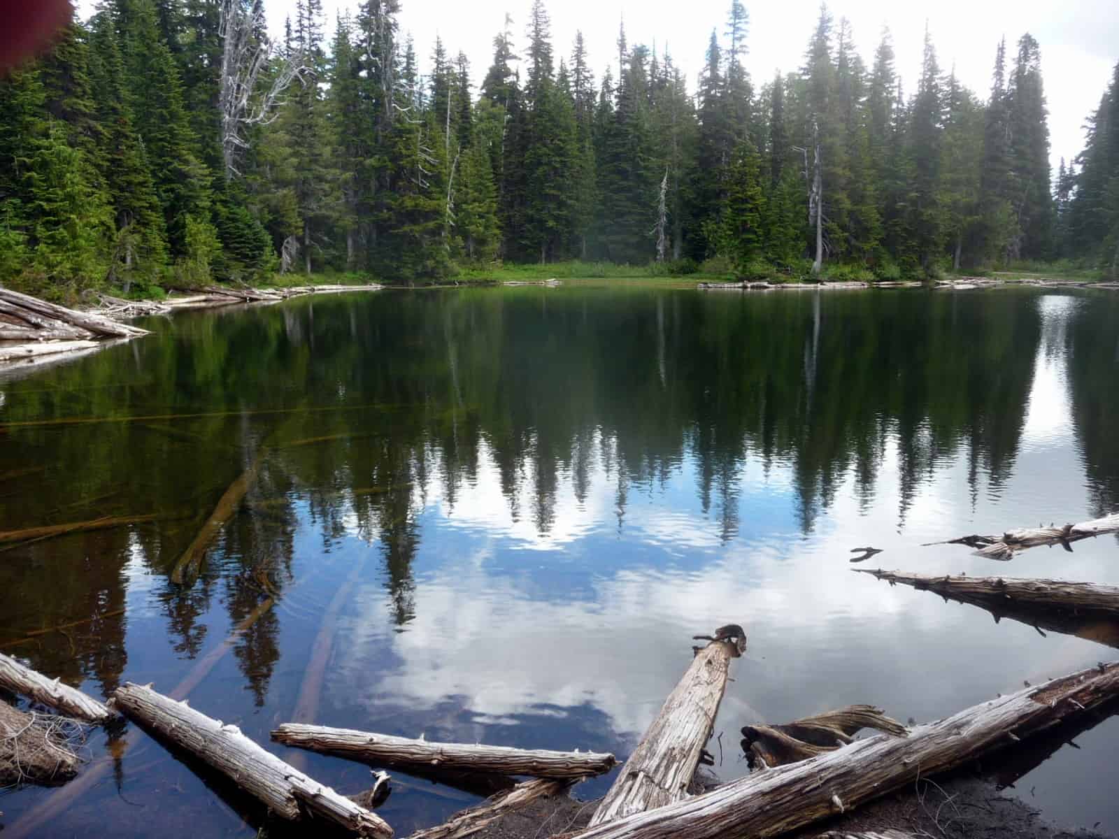
Since weather had improved we took the side-trip to Hidden Lake following the trail as it climbed through steep, sweetly-scented meadow, crossed a small, mossy stream and popped out at Hidden Lake, elevation 5,915 feet. The lake was a deep, sparkling blue, its surface ruffled by wind. Faint paths invited further exploration; nearby another tarn. On the far shore rise the Upper Palisades, a wall of gold, burnished by sunlight.
Though it was hard to leave Hidden Lake we knew we faced a steep climb back to the Sunrise Point. As we approached Sunrise Point we were mugged by an optimistic pair of chipmunks but we only stopped for photos. Feeding these perky, cute characters is ill-advised – if given too many human treats they lose their innate ability to forage and fatten up their caches of food over the winter.
Getting there: From Enumclaw go east on Highway 410 to the White River Entrance of Mount Rainier National Park, continue to Sunrise Point, elevation 6,400 feet. A Northwest Forest Pass, other acceptable pass or fee is required.
The map is Green Trails No. 269S (Mount Rainier Wonderland) or Green Trails No. 270 Mount Rainier East.
For additional information on fees, rules and regulations, trail conditions, road closures call Mount Rainer National Park at 360-569-2211 or visit their website at www.nps.gov/mora.
– Karen Sykes
Waypoints
| Notable Waypoints:
Brown Peak via Palisades Lake Trail: 8.6 miles round trip 2,200 feet gain |
|