| Area: White Pass |
Hike Type: Mountain Views | Pass: NW Trail or Interagency Pass required |
| Distance: 15.7 mi RT | Duration: 8 hrs | Difficulty Level: Moderate |
| Snow-Free: mid-July – Oct | High Point: 6,575 ft | Elevation Gain: 2,625 ft |
-
- 012
-
- 023

-
- DSC07708

-
- 018
-
- DSC07723

-

- DSC07695

-
- 008

-
- 031
Features: kid-friendly, dog-friendly, alpine views, alpine lake, Pacific Crest Trail, Goat Rocks Wilderness.
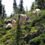
It’s a long hike to Shoe Lake, but not overly difficult. Follow the well-graded Pacific Crest Trail (PCT) through cool forest and along an open craggy ridge to this pretty little lake tucked in an open alpine meadow. The wildflowers are sublime. The views are breathtaking—especially of Rainier hovering over the Hogback Ridge. And mountain goats are abundant here in this sprawling wilderness named for them.
Hit the Trail:
Even though it’s more than 7 miles from the trailhead to this pretty alpine lake, it’s a fairly popular place. The surrounding meadows are fragile and were heavily damaged in the past leading the Forest Service to prohibit camping within the lake basin. The basin’s meadows are recovering quite nicely now, however, thanks to this action. If you want to do this trip as a backpack, you’ll need to continue 1.6 miles south of the lake to good campsites at Hidden Spring. And if this hike is too long for you to do as a day trip, a much shorter loop can be made via a ski trail—or hike to the first viewpoints and call it a hike.
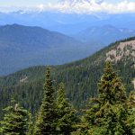
Start hiking the long-distance PCT south. If you do this hike later in the summer you’re sure to meet a handful of PCT through-hikers on their way from the Mexican border to the Canadian border. Leave some cold drinks or snacks out for them at the trailhead and be a trail angel—and make some new friends. Now cross a tributary of the South Fork Clear Creek and gently gain elevation through the old-growth hemlock forest. Eventually enter the Goat Rocks Wilderness, a sprawling roadless area of more than 100,000 acres.
Soon after entering the wilderness come to little Ginnette Lake. There are good camps here—and in the early season, a good amount of mosquitos! Continue hiking in forest reaching the Round Mountain Trail at 2.4 miles. Stay right on the PCT traversing huckleberry patches and skirting marshy meadows and pools that teem with mosquitos. The buzzing buggers are sure to help you keep a steady pace. At 3.4 miles and after 1300 feet of climbing, come to a junction. The trail right leads 0.5 miles to the White Pass Ski Area where it is possible to walk a ski trail back to US 12 for a short loop.
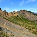
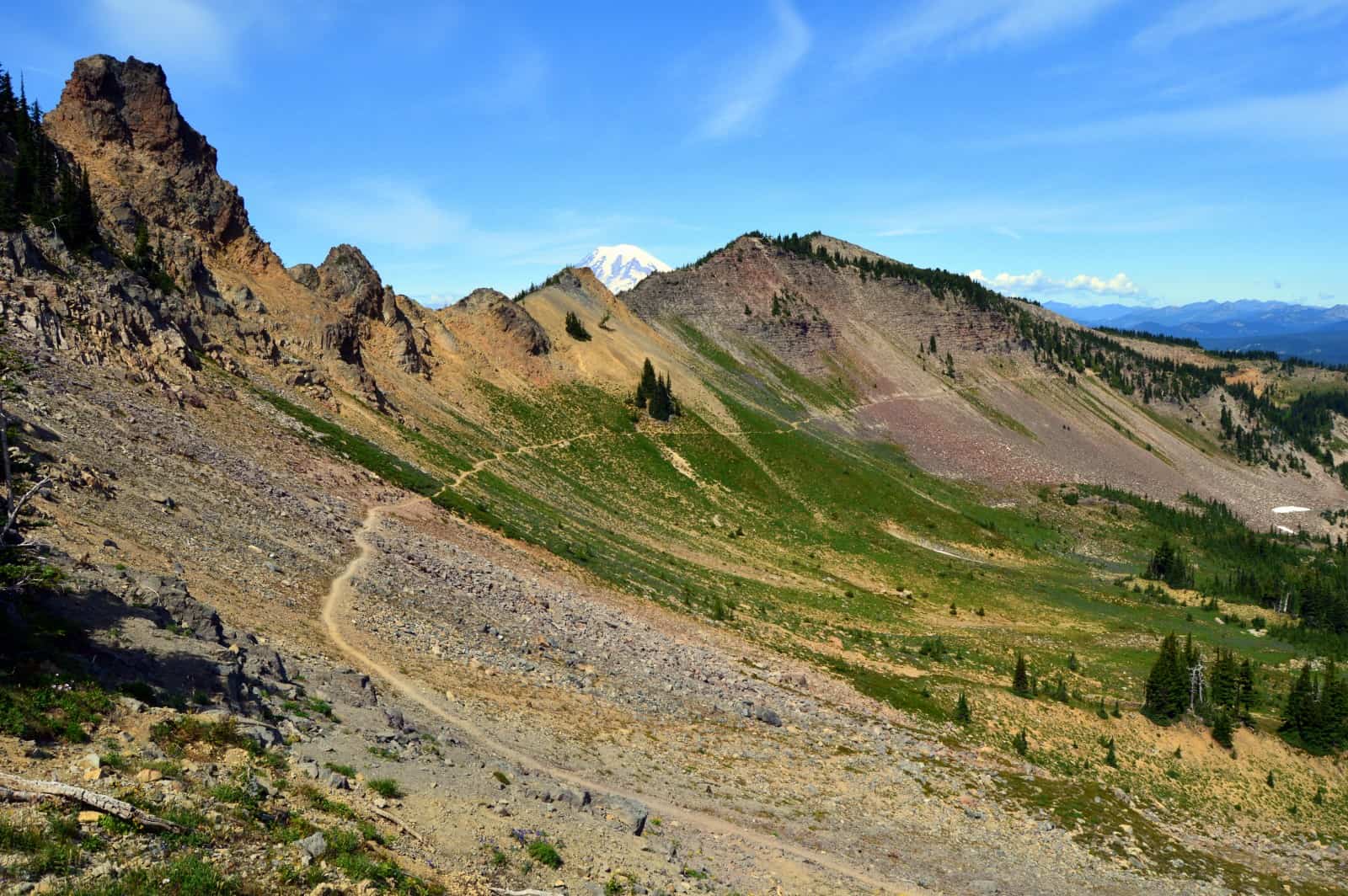
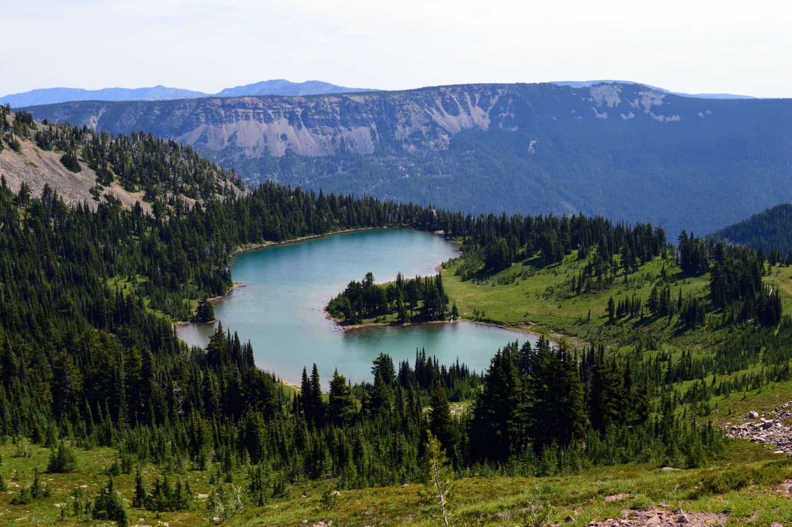
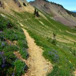
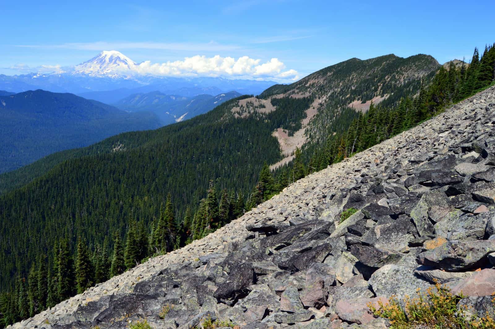
Shoe Lake, however, lies straight ahead. Continue hiking through thinning forest straddling the wilderness boundary and ski lift lines and trails. Start catching views out to Mount Aix, Rimrock Lake, and Mount Rainier. At 5.1 miles reach a 6300-foot saddle, a good spot for turning around if you desire a shorter hike. Otherwise carry on, leaving the ski area behind. Begin a beautiful rocky and flowery traverse under Hogback Mountain and a craggy ridge. The views east and south are excellent. Look for big game in the snow-fed ponds and meadows of the basin below.
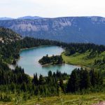
At 6.4 miles reach a 6575-foot rocky notch on the ridge. Turn back and wow over Rainier hovering over the Hogback and its craggy neighboring knolls. Look south and see Shoe Lake sparkling in the basin below. It’s apparent that this lake was named for a horseshoe and not human footwear. Here just past the notch is a junction. You can turn left and reach the shimmering lake in 1.3 miles. But the better option is to continue right on the PCT and approach the lake from the south. This way gives you a short loop and some excellent views.
Follow the PCT above the lake and admire excellent views south and east of the Goat Rocks crest and the large glacially-carved Tieton River Valley. The trail skirts west of a small knoll soon traversing a talus slope with excellent views west and south of Coal Creek Mountain, Clear Fork Cowlitz River Valley and Mount Rainier. Look for goats too along the ridge, their sign is everywhere.
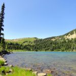
The trail then slowly descends through subalpine forest and meadows making a big switchback before reaching a junction about 1.1 miles from the previous junction. Turn left here gently climbing through open forest and meadows reaching beautiful Shoe Lake (elev. 6175 feet) in 0.5 miles. The trail hugs the lake’s southern and eastern shorelines passing lots of great spots for lounging away the afternoon. When it’s time to leave, continue on this trail climbing meadows teeming with deer and ground squirrels, reaching the PCT in 1.3 miles. Turn right and hike 6.4 miles back to your start.
Notes: NW Trail or Interagency Pass required; Wilderness permit required, free, self-issued at the trailhead. Trail open to horses. No camping or fires in the lake basin. Wilderness regulations apply—keep groups less than 12.
Contact: Naches Ranger District, Okanogan-Wenatchee National Forest (509) 653-1401, http://www.fs.usda.gov/main/okawen
Maps: Green Trails, Goat Rocks William O Douglas Wilderness No. 303S
Trailhead directions: From Packwood, follow US 12 east 20 miles (0.6 miles beyond ski area) to Pacific Crest trailhead at White Pass (From Yakima, follow US 12 west for 50 miles to Pacific trailhead). Parking and trailhead are on south side of the road.
Trailhead facilities: Privy and camping available across US 12 at Leech Lake Campground and Trailhead.
– Craig Romano, is an author of more than a dozen hiking guidebooks including the newly released 100 Classic Hikes Washington (Mountaineers Books) which includes several hikes in and around Mount Rainier National Park and the Goat Rocks Wilderness.
Waypoints
| Trailhead: N46 38.590 W121 22.732 | |
| Notable Waypoints:
Junction Chairlift Trail: N46 37.065 W121 23.187 Shoe Lake Trail junction: N46 35.540 W121 23.991 |
|