Average Monthly Temperatures at Mount Rainier
| Paradise (5400 ft/1647 m) | Longmire (2762 ft/825 m) | Ohanapecosh (1950 ft/560 m) | ||||
|---|---|---|---|---|---|---|
| High | Low | High | Low | High | Low | |
| °F/°C | °F/°C | °F/°C | °F/°C | °F/°C | °F/°C | |
| January | 33 / 0.5 | 21 / -6 | 36 / 2 | 24 / -4 | 39 / 4 | 30 / -1 |
| February | 35 / 2 | 22 / -6 | 40 / 4 | 26 / -3 | 41 / 5 | 30 / 1 |
| March | 37 / 3 | 22 / -6 | 44 / 7 | 28 / -2 | 42 /6 | 32 / 0 |
| April | 44 / 7 | 27 / -3 | 53 / 12 | 32 / 0 | 58 / 14 | 35 / 2 |
| May | 50 / 10 | 32 / 0 | 62 / 17 | 37 / 3 | 70 / 21 | 41 / 5 |
| June | 56 / 14 | 44 / 7 | 66 / 19 | 43 / 6 | 77 / 25 | 45 / 7 |
| July | 64 / 18 | 44 / 7 | 75 / 24 | 47 / 8 | 78 / 23 | 49 / 9 |
| August | 63 / 17 | 43 / 6 | 74 / 23 | 47 / 8 | 81 / 27 | 48 / 9 |
| September | 57 / 14 | 39 / 4 | 68 / 20 | 43 / 6 | 72 / 22 | 43 / 6 |
| October | 48 / 9 | 33 / 0.5 | 57 / 14 | 38 / 3 | 57 / 14 | 36 / 2 |
| November | 41 / 5 | 37 / 3 | 45 / 7 | 31 / -0.5 | 39 / 4 | 27 / -3 |
| December | 34 / 1 | 22 / -6 | 39 / 4 | 28 / -2 | 34 / 1 | 23 / -5 |
Dress for the Weather
When venturing out into cold weather, it’s important to wear clothing that holds the body’s heat. Clothing should be windproof, water-repellent, and capable of allowing moisture to evaporate from the body. Down is good in dry conditions but becomes ineffective when wet. Cotton next to the skin draws heat out of the body when it becomes damp. Wool is the best protection. Certain new synthetics are also good.
Layering clothing is advisable, as the air pockets between fabrics hold the body’s heat. Layered clothing also has the advantage of being removable if the temperature rises.
Be Prepared
When heading out for a day of winter sport activity, bring along the following items:
- Cell phone, two-way radio, or money for a phone call
- Compass
- Extra clothing
- Extra food and water
- First aid kit
- Flashlight
- Identification and emergency medical information
- Knife
- Map
- Matches / fire starter
- Sunglasses / goggles
- Thermal blanket
Hypothermia
Be prepared to recognize the signs of hypothermia. Hypothermia occurs when the body loses heat faster than the body can produce it. This causes the temperature of the main organs (heart, kidneys, lungs, and brain) to drop. Both dry and wet cold can cause this condition.
The first stage of hypothermia is shivering of the body. Shivering is the body’s natural reaction to cold. It produces heat. A person in this stage of hypothermia should move closer to artificial heat, eat hot food or add more clothing.
Once the condition has passed this stage, the cold will begin to affect the victim’s brain. From this point on, the person will be able to recover only with the help of others. This more dangerous level of hypothermia occurs when the shivering stops. The person may look pale or blue. Movement will be slow. The body is reacting to heat loss by conserving all warmth for the main organs. Less blood is being pumped to the hands, arms, feet, legs and skin. The brain’s reasoning power is affected, and main organs begin to slow down as their temperature drops.
At this point, it is vital that the person be removed from the cold. Wet clothing, if any, should be taken off. The person should be dried and wrapped in dry blankets, sleeping bags, or clothing. Body-to-body contact may be necessary to warm the victim. If the person is conscious, give warm liquids slowly. Take the victim to a medical facility as soon as possible.
Protect Yourself from Hypothermia
- Know basic first aid, including CPR.
- Take a friend with you. Before you go, tell someone where you are heading and when they can expect you back.
- Wear appropriate layered clothing. Avoid cotton and down. Wear wool or suitable synthetics.
- Carry food, clothing, some sort of shelter, and matches. Extra dry clothing may save your life.
- Maintain your energy supply by eating high-calorie foods frequently during your trip.
- Avoid becoming overly fatigued.
- Seek shelter from wind and rain if you are lost. Try to stay dry and put on extra clothing to keep warm. Cover yourself with a thermal blanket and dig a snow cave. Build a fire if dry wood is available.
Avalanches
While groomed trails are placed to avoid areas prone to avalanches, unpredictable snow conditions and erratic weather patterns can create an avalanche at any time. Be aware of the terrain around you and avoid areas that look unsafe. Signs of danger include old slide paths, recent avalanche activity, sounds or cracks, and certain weather conditions.
Ensure a safe and enjoyable outing by checking on avalanche conditions before you go. Contact your local U.S. Forest Service Office or visit the Northwest Weather and Avalanche Center (NWAC) website.
Important Contact Information
- Mountain Pass Report: Call 511, 800-695-7623, or 206-368-4499, or visit the Washington state Department of Transportation website.
- Highway Advisory Radio Service: 1610 AM (at posted areas on Interstate 90 in the Snoqualmie Pass area) or 530 AM
- Northwest Weather and Avalanche Center website
- Washington state Parks Winter Recreation Program: 360-902-8684
Information courtesy Washington state Parks
Mount Rainier Regional Webcams
What is the weather like on Mt. Rainier? Is the mountain out? Are the parking lots full? View Mt. Rainier webcams to answer these questions and more in real-time. These images are live feeds from Mount Rainier National Park, NPS. The date & time is stamped in the bottom left of the large image.
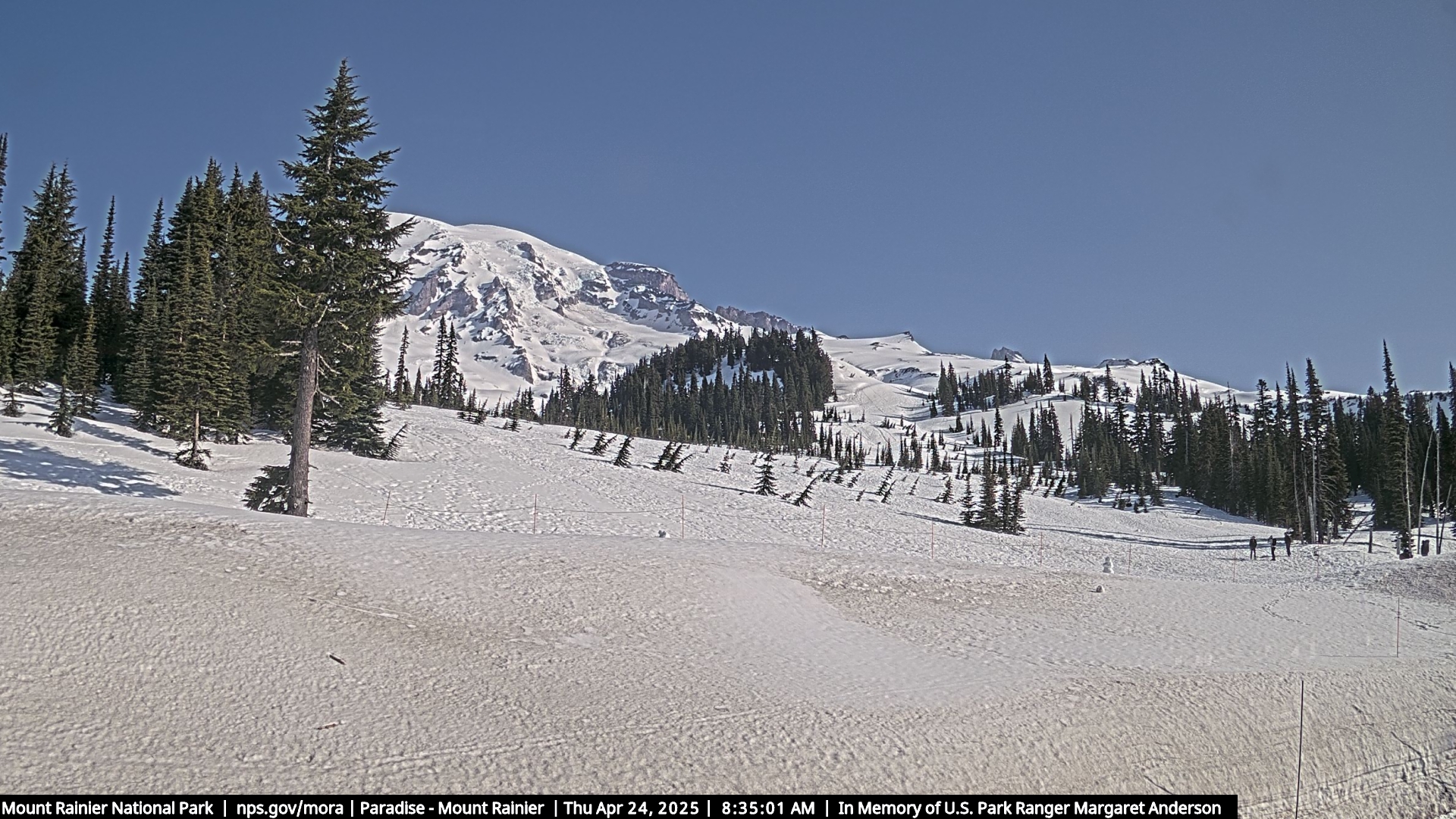
PARADISE | Mount Rainier Cam

PARADISE | Tatoosh Range
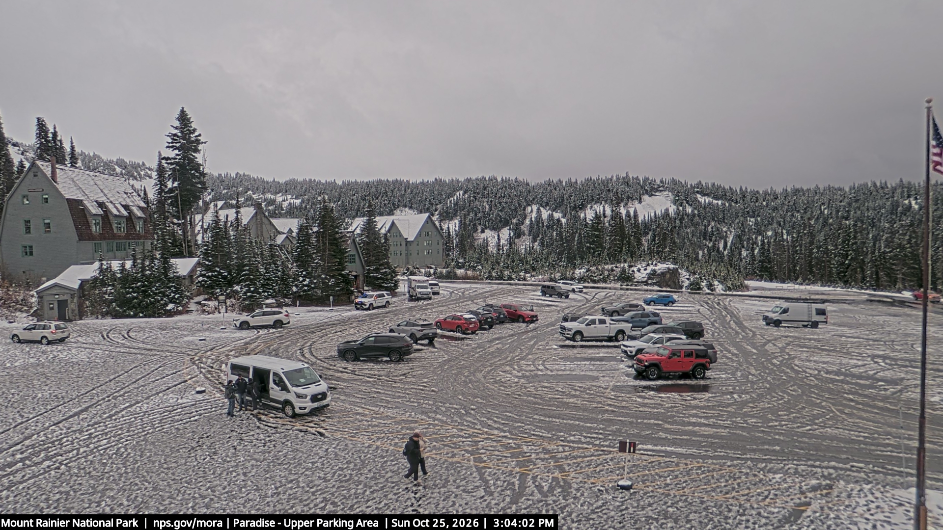
PARADISE | Looking East from Visitor Center

PARADISE | Looking West from Visitor Center
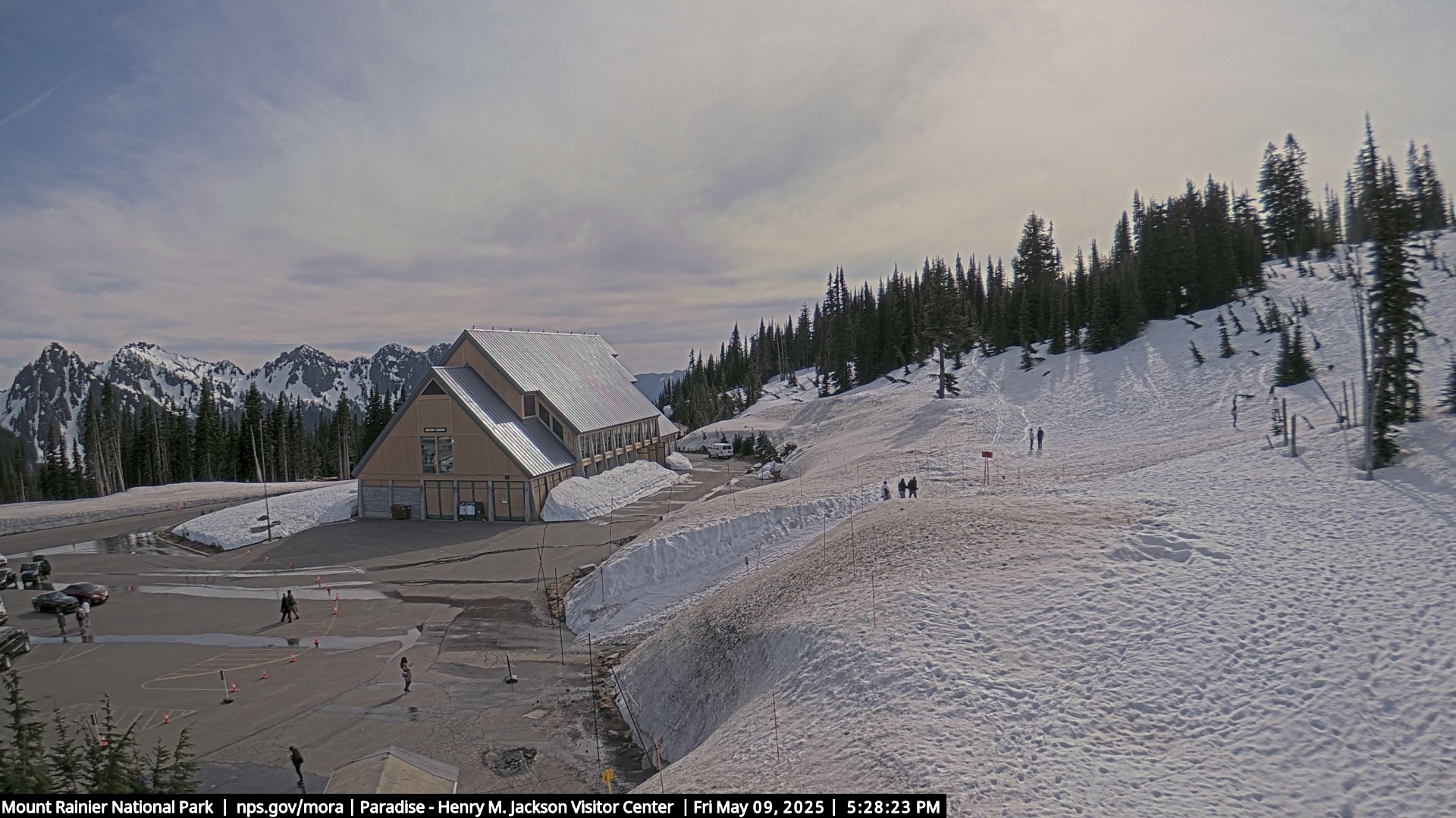
PARADISE | Visitor Center Cam
PARADISE | Air Quality Cam

CAMP SCHURMAN | View of the Summit

CARBON RIVER | Carbon River Cam
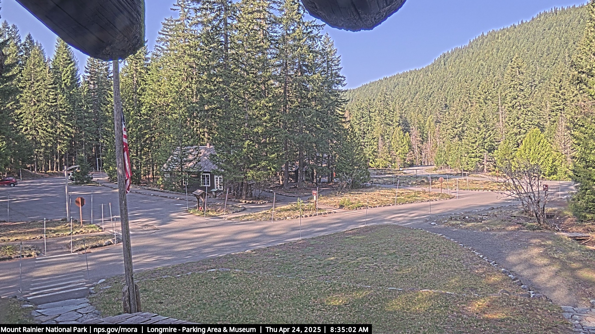
LONGMIRE | Longmire Cam
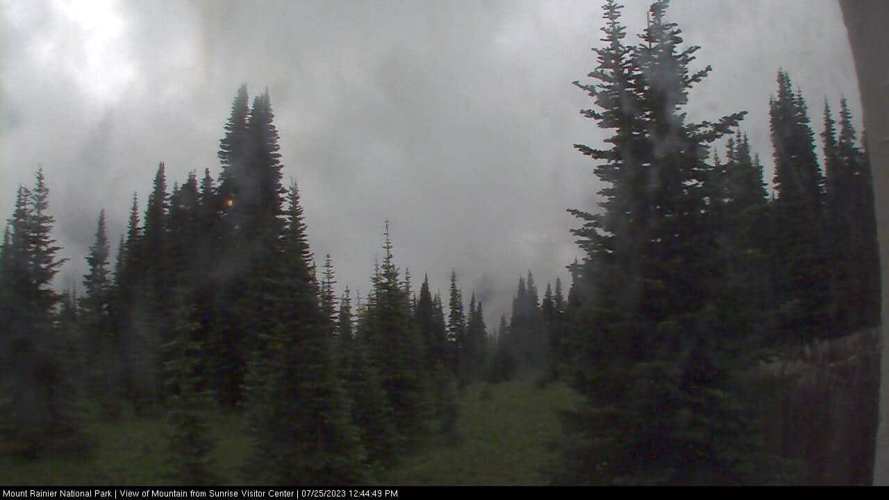
Sunrise Mountain
Webcams from around the Mountain
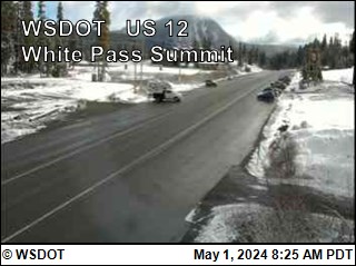
White Pass Summit
Crystal Mountain Resort
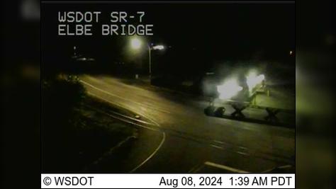
SR 7 at MP 16.7 Elbe Bridge
Whittaker Mountaineering in Ashford
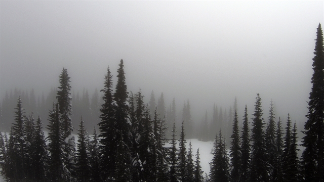
Here’s an easy way to forecast the weather. Since weather systems and associated precipitation usually move in from the south and west, look south (see photo 1) and if it is clear, it indicates dry weather for the next twenty-four hours.
View from Norse Peak south towards Mt. Rainier
If we look south and west and we see high cirrus clouds moving in (photo 2), this might result in precipitation in twenty-four hours.
Cirrus clouds invading from the south and west, wet weather coming?
If the next cloud we see is a lenticular cloud (photo 3), along with a continued falling barometer, then it is becoming apparent that precipitation is likely within twenty-four hours or less.
Lenticular cloud forming over Mt. Rainier view from Grand Park
So far from this sequence of clouds the one fact that seems certain is wet weather is on the way. The photo below (photo 4), taken several hours later, would confirm this. We may expect precipitation in five hours or so. Another great indication that precipitation is coming soon is wind. In this case, the winds at Burroughs Mountain were at 40 mph from the south.
From Burroughs Mountain looking towards the south; clouds are quickly moving in but it’s still clear towards the east.
To summarize, this is a typical progression of clouds from a weather system moving in. The moral of the story is you don’t have to be a weatherman to know which way the wind is blowing or if you are going to get wet soon.
– Michael Fagin
Michael Fagin is a forecaster for Washington Online Weather and appears periodically on KUOW for the weather and hiking segment. Check out his weather outlooks at faginweatherworld.blogspot.com
Featured image: © Ian McRae
Driving Inside the Park
- Park road conditions are available by phone at (360) 569-2211.
- While driving the road to Paradise, tune to AM 1610 for the latest updates.
- All vehicles are required to carry tire chains when traveling inside the national park during the winter season (Nov 1 – May 1). This requirement applies to all vehicles (including four-wheel drive), regardless of tire type or weather conditions. Review the Tire Chain Frequently Asked Questions for more information. Other winter road resources.
- Check MountRainierNPS Twitter feed for daily updates on the open/closed status of the Longmire to Paradise Road during the winter season.


Use the following links to learn about current weather conditions at Mount Rainier.
Mount Rainier Recreational Forecast
Daily update of park weather with forecast for next several days.
Northwest Avalanche Center
Current conditions and snow level at Paradise.
Weather forecast – West Slopes and Passes of the Central Cascades
National Weather Service forecast for the region including Snoqualmie Pass and Mount Rainier.
Mountain Pass Road Report
Washington state Department of Transportation information on mountain passes throughout Washington.
Paradise SNOW Data Report
Information on snow depth, current temperature, year-to-date precipitation and more at Paradise.
Northwest Weather and Avalanche Center Forecasts
Avalanche forecasts for Washington state and northern Oregon.
Longmire Weather
Current weather data at Longmire from NOAA.
Ohanapecosh Weather
Current weather conditions and snow depth at Ohanapecosh from the University of Utah.
Sunrise Weather
Current weather conditions and snow depth at Sunrise from NOAA.
Camp Muir Weather Station
Current weather conditions at Camp Muir from the Northwest Avalanche Center.
Cayuse Pass SnoTel Station
Weather and snow depth information at Cayuse Pass from the USDA Natural Resources Conservation Service.
National Weather Service Seattle Office
Access National Weather Service information for all of western Washington.
Mount Rainier Webcams
Want to see the current weather for yourself? Check our webcams!
source: National Park Service Mt. Rainier “Plan Your Visit” Page