| Area: White River |
Hike Type: Mountain views |
Pass: Natl. Park Pass |
| Distance: 7.0 mi RT | Duration: 4 hrs | Difficulty Level: Moderate |
| Snow-Free: mid-July – Oct | High Point: 5,950 | Elevation Gain: 1,700 |
-
- IMG 5042
-
- IMG 5026

-
- IMG 5040

-
- IMG 5034

-
- IMG 5010
-

- IMG 5005

-
- IMG 5001
Features: kid-friendly, wildflowers, glacier views, backcountry camping, historic mining area
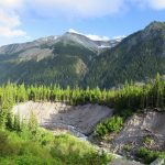
Hike along a roaring glacier-fed river to a stark rugged basin flanked by rock and ice and fed by a series of silver cascades. En route, traverse majestic stands of old-growth conifers and cross a series of tumbling creeks. Marvel at close-up views of snow and ice shrouded Mount Rainier and its Emmons Glacier, the largest glacier in the Continental US. And ponder what it must have been like to be a miner working in this beautiful, but austere environment more than a century ago.
Hit the Trail:
From the large hiker/ climber parking lot and picnic area, walk a short distance west on the campground road to Loop D. Bear left on the loop passing splendid campsites perched on a bluff with great views of the White River below, and Goat Island Mountain above. At .3 mile, reach the trailhead (no parking) for the Glacier Basin Trail.
Now leave the commotion of the campground behind. The trail here is wide and gentle and once served as a road to a couple of mining operations near and in Glacier Basin. About a decade ago during an intense autumn storm, the White River raged and took out large sections of the trail. Thankfully, the Washington Trails Association replaced the lost tread with a well-built and sturdy stretch of new trail higher above the river.
You’ll soon come to the new section of trail. Follow it leaving the old mining road and climbing above a series of washouts. Admire the excellent work of the volunteer trail builders who toiled on this reroute. Via a bridge, cross a raging tributary. The way eventually drops back down to the old mining road. Continue hiking up the valley. At .9 mile from the trailhead come to a junction. Here the Emmons Moraine Trail leaves left to cross the Inter Fork of the White River on a seasonal footbridge. Consider extending your hike or returning in the future to take this path along lateral moraine to up-close breathtaking views of the massive Emmons Glacier.
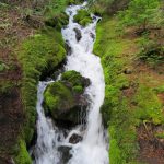
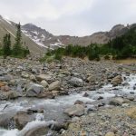
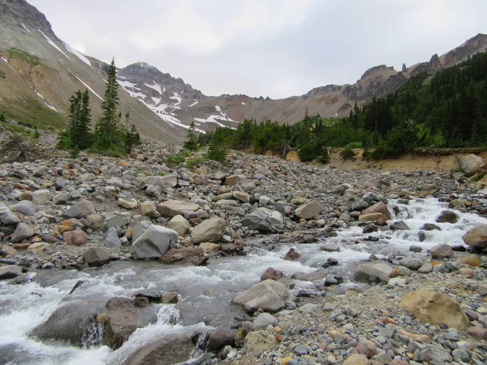
To continue to Glacier Basin, head right and follow the old mining road turned trail. Now heading up the Inter Fork of the White River valley, the trail skirts right aside the frothing roaring glacial-silt laden waterway. It then ascends a bank and stays above the furious river. Cross numerous side creeks crashing down from Burroughs Mountain. Some may be challenging to negotiate without getting your boots wet. In summer these cascading creeks are lined with pink and yellow monkeyflowers. Later in the season, they roar fueled by autumn rains.
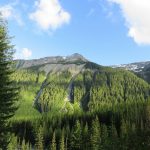
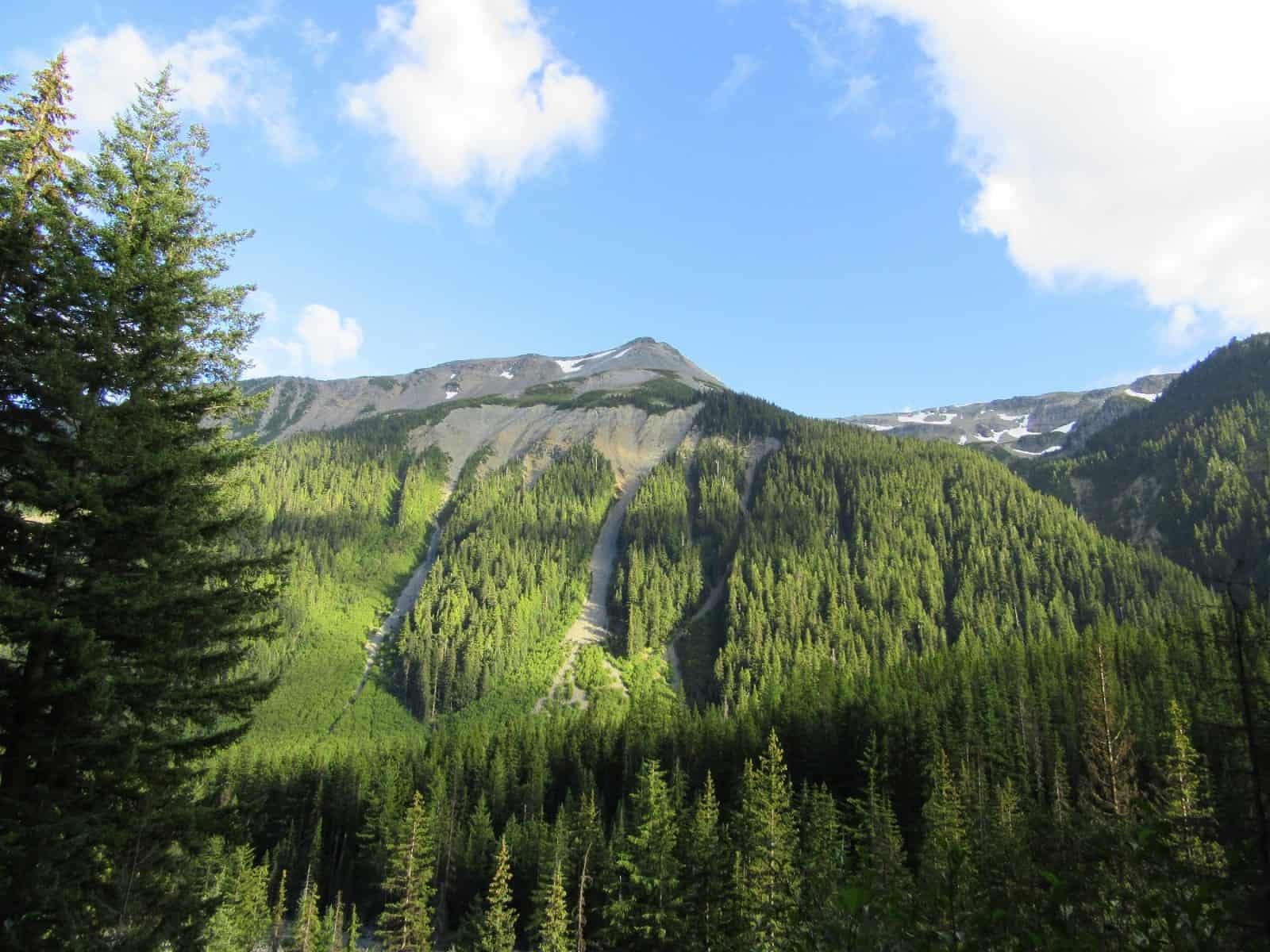
The way climbs gradually and steadily. Enjoy excellent views across the river to Goat Island Mountain and waterfalls coming down off of the surrounding glaciers. Enjoy too some sweeping views of the long lateral moraine heaps enveloping the Emmons Glacier and its outwash. As you continue your journey to Glacier Basin you may notice some rusted relics from an old mining operation. Beginning in the 1890s, there were 41 mining claims in Glacier Basin at one time. Copper was the sought after mineral. The largest of the operations was the Starbo Mine, (a misspelling of the mine owner’s last name Storbo).
Camp Starbo once hosted a power plant, hotel and other structures. The Starbo Mine eventually ran into legal problems and was acquired by the Mount Rainier Mining Company which stayed active more or less for decades. It wasn’t until 1984 when the national park bought the company’s claims that mining seized here. The Starbo Mine was the last mine to operate within the national park.
At 2.4 miles from the trailhead reach a junction. Here the Burroughs Mountain Trail climbs steeply 2,800 feet to the summit of Second Burroughs Mountain. This stretch of trail between Second Burroughs and Glacier Basin is lightly hiked. If you’re up for the challenge, it’ll reward you with sweeping views, prolific wildflowers in season, and excellent chances of seeing bear, mountain goats, and deer.
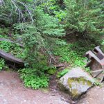
The Glacier Basin Trail continues straight soon coming to a switchback. If you snoop around in the outwash below you’ll find more evidence of past mining operations. Here once stood a sawmill and power plant. The trail continues right and soon start climbing more seriously. Skirt small meadows and pause to look back at Burroughs Mountain above. Then gather up some more energy and make the final push to Glacier Basin. Pass through a backcountry camping area (permits required) where scattered old rusted mining debris have taken on some new uses.
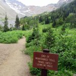
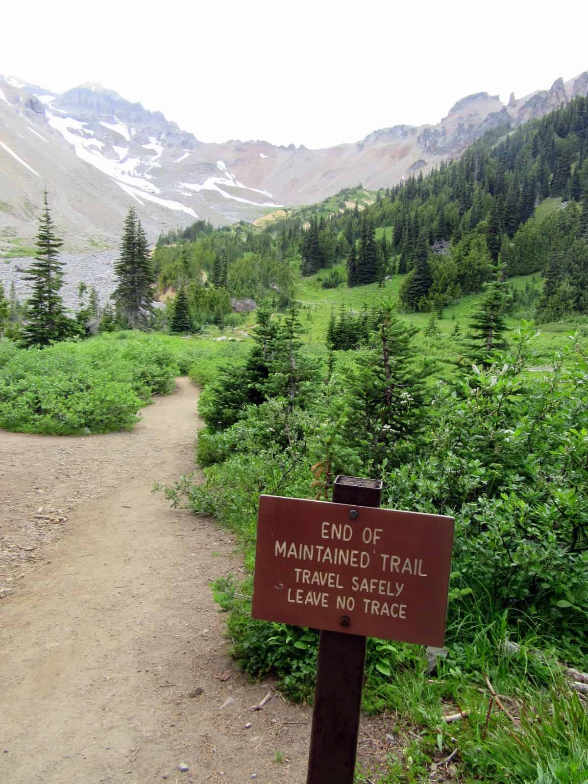
The trail comes to an opening with a small pond and officially ends. But here at forest’s edge in the big, wide, open and wild Glacier Basin, exciting explorations begin. Definitely head down to the outwash of the river and admire its force and cascades. Wander a short way along a climber’s path for excellent views of Mount Rainier hovering over the basin and of the Inter Glacier high above. This is the climbing route to Camp Shurman and the northeast face of the mountain.
Scan the high country with binoculars for climbers and mountain goats. Can you see the ranger cabin at Camp Shurman below the Steamboat Prow? Scan the meadows near the campsites for ground squirrels, marmots, deer, and bear. Bears are abundant in this valley, their signs—droppings and stripped tree bark are evident all along the trail. Watch for dippers (water ouzels) perched on rocks in the cascading river. And find a quiet spot to listen for voices in the wind—voices of the hardscrabble miners who tried to eke out a living in such a fantastically beautiful yet harsh environment.
Notes: Dogs-prohibited; permits required for camping (available at the White River and Longmire Wilderness Information Centers).
Contact: Mount Rainier National Park; https://www.nps.gov/mora/index.htm; (360) 569-2211
Maps: Green Trails Mount Rainier National Park 269S
Trailhead directions: From Enumclaw follow SR 410 east for 37.5 miles to Mount Rainier National Park turning right onto the White River Road. Continue for 5.3 miles and turn left onto the White River Road. Follow for 1.2 miles to hiker/climber parking area on your left.
Trailhead facilities: ranger station, campsites, privies, water, picnic area.
– Craig Romano, is an author of more than a dozen hiking guidebooks including the newly released 100 Classic Hikes Washington (Mountaineers Books) which includes several hikes in and around Mount Rainier National Park.
Waypoints
| Starting Point: N46 54.094 W121 38.750 | |
| Notable Waypoints:
Burroughs Mountain Trail Junction: N46 53.657 W121 41.594 Glacier Basin backcountry camps: N46 53.329 W121 42.082 |
|