| Area: Carbon River Area | Starting Point: Mowich Lake Road | Permit: National Park Pass or Interagency Pass |
| Distance: 10.5 miles, RT | Duration: 7 hrs | Difficulty Level: Moderate |
| High Point: 5,000 ft | Elevation Gain: 1,350 ft |
-
- Fay Peak and Mount Rainier viewed from Mowich Lakes west shore 2
-
- Big trees line the way as Mount Rainier hover above
-
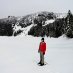
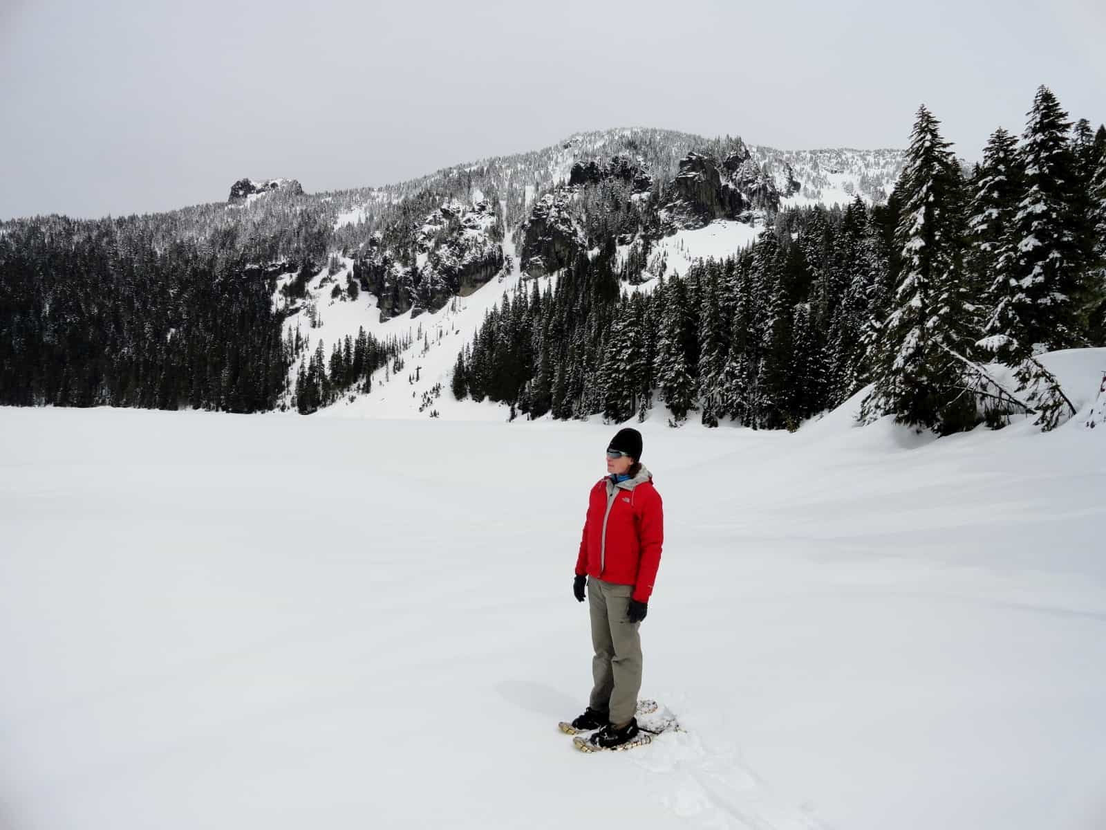
- A snowshoer admire frozen Mowich Lake 2
-
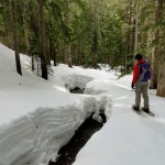
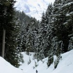
- The Grindstone Trail follows along a small creek

-
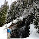
- Snowshoeing past one of the many cascades along the way 2

-
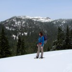
- Enjoying the view of Tolmie Peak from the second sweeping switchback

-
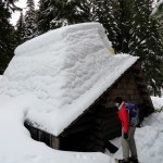
- The Mowich Lake Guard Station

Largest and deepest lake within Mount Rainier National Park, Mowich Lake is a popular destination during the summer months. From July through October, you can easily reach this subalpine lake flanked with craggy spires by car. From the road’s end, backpackers and day hikers take off on the Wonderland Trail to Tolmie Peak and Spray Park. And families set up camp at the primitive campground near the lake’s outlet. But when winter lays its frozen shroud across the lake, human visitation plummets to this part of the park.
Energetic snowshoers and cross-country skiers, however, can visit the lake by following the snow-covered access road from the Paul Peak picnic area just beyond the park boundary. When snow levels are high enough to permit vehicle access to the national park boundary—you can continue the rest of the way by foot on a peaceful, exhilarating, and avalanche-free route.
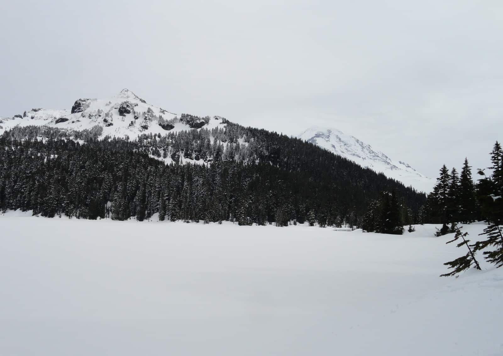
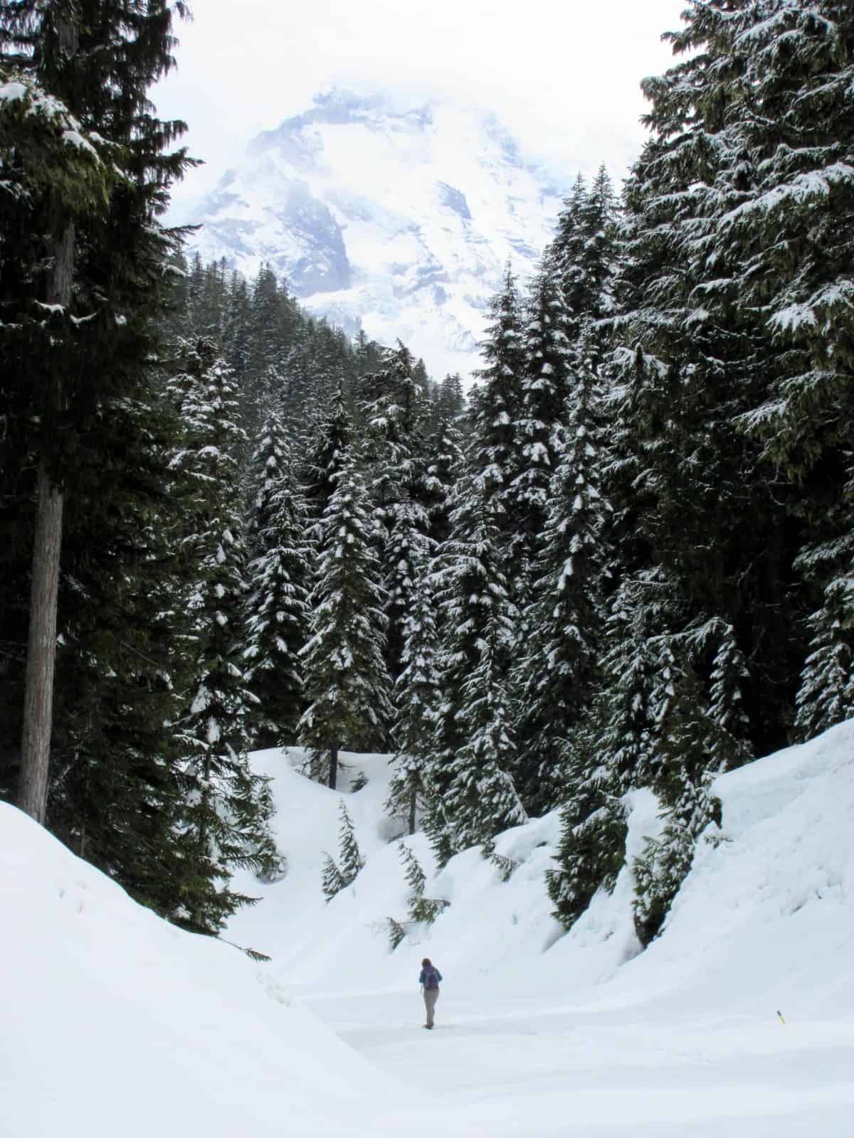
Start at the gate and slowly ascend following the gently sloping road through an attractive old growth forest. The first couple of miles the way parallels Meadow Creek. By early spring the creek will have cut through the heavy winter snowfall allowing its flowing waters to be heard throughout the surrounding ancient forest. Plenty of feeder creeks and tributaries tumble into Meadow Creek as well. Do this trip in April and you’ll pass by a handful of cascades and waterfalls sprouting from the snowy slopes.
At about 1.5 miles, the way skirts above a beautiful meadow. When snow cover is deep, feel free to tromp around in this thick forest opening. Otherwise continue up the route, soon coming to a road-cut offering good views and sunlight. At 2.5 miles, come to the first junction with the Grindstone Trail. This trail which takes off right into the forest is marked with orange tags and offers a nice shortcut to the lake. From this spot, it follows alongside a creek reaching the road route again in 0.6 miles. Consider it if you don’t mind a steeper ascent, or take it on the return for a variation to this trip.
The road route continues left eventually making a sweeping switchback beneath some open ledges. If avalanche danger is high avoid this section by using the Grindstone Trail. Notice here a few impressive yellow cedars growing along the base of the open slope. They’re quite prolific in the northwest corner of the park. At 3.5 miles you’ll reach the second junction with the Grindstone Trail. Right leads back toward your start. Left leads 0.3 miles uphill to the road route, shortcutting another long switchback.
For the main route continue straight soon coming to said switchback and a sweeping view over the Meadow Creek Meadows and out to Virginia, Berry, and Tolmie Peaks. Tolmie’s historic fire lookout is discernible from this spot. Now hike east coming to the upper and last junction with the Grindstone Trail at 4.5 miles.
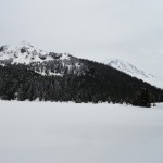
With most of the climb now over, enjoy easy walking and a growing anticipation of what lies ahead. Big firs line the way. Reach a small gap (el. 5,000 feet) just above Mowich Lake; then walk south above the lakeshore slowly descending. Pause at forest gaps that allow excellent views of Castle and Fay Peaks hovering over the frozen lake. Marvel at Mount Rainier too which forms a massive frozen backdrop to the south.
At 5.1 miles reach the end of the road route. Here beneath the heavy blanket of snow are campsites, picnic tables, and signs for the Wonderland Trail. The campground’s privy should be visible, but more than likely just its rooftop. Continue a short distance along the lake’s eastern shore to the Mowich Patrol Cabin which will also be nearly buried in snow. This is a great spot to have your lunch and marvel at the frozen lake before you.
Mowich is a Chinook word for deer which are prolific here in the summer months. During the winter, gray jays (also known as whiskey jacks and campground robbers) will probably be your main wildlife company. Don’t leave your granola unattended.
Feel free to explore along the lake’s western shoreline for excellent views of Castle and Fay peaks and Mount Rainier. But don’t venture across the lake where the ice can unexpectedly give way. Stay for a while and revel in the quietness of a place that is quite bustling during the warmer months.
Trailhead directions: From Buckley follow SR 165 south for 10.3 miles to the junction just beyond the historic Fairfax Bridge spanning the Carbon River. Bear right and continue on SR 165 for another 11.0 (pavement ends at 1.6 miles) rough-at-times miles to the Mount Rainier National Park boundary. Proceed .7 mile farther to the entrance station and Paul Peak.
Map: Green Trails Maps – Mount Rainier Wonderland no. 269S
Notes:
- The route is non-groomed and shared with skiers.
- Dogs are prohibited.
- SR 165 beyond Carbon River is unpaved and rough in places and not plowed or maintained in the winter. Watch for downed trees and rocks. Trailhead is inaccessible when snow levels are low blanketing access road. The trip is best in spring when snow levels are higher allowing road access to the park.
| Waypoints: Start at gate at Paul Peak Trailhead and Picnic Area: N46 56.166 W121 54.287 Grindstone Trail first junction: N46 56.738 W121 52.426 Grindstone Trail second junction: N46 56.404 W121 52.330 Mowich Lake campground at lake outlet: N46 55.976 W121 51.802 |