| Area: Cayuse Pass | Hike Type: Woodland | Pass: None |
| Distance: 12 mi RT | Duration: 6-7 hrs | Difficulty Level: Strenuous |
| Elevation Start: 2,000 | Elevation End: 4,825 | Elevation Gain: 2,825 |
| Snow-Free: Mid-July – Late-Oct |
-
- Laughingwater Creek HQ 3

-
- laughingwater creek hq 2
-
- Laughingwater Creek HQ 5

-
- Laughingwater Creek HQ 1

-
- laughingwater creek hq 1

-
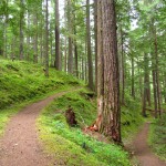
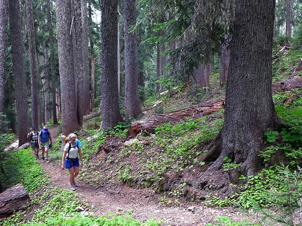
- hikers on the trail
-
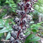
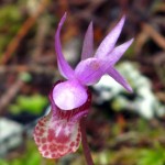
- saphrophyte

-
- Laughingwater Creek HQ 7

Located in the southeastern corner of Mount Rainier National Park near the Stevens Canyon Entrance, the Laughingwater Creek trail could be considered a contemplative hike with exercise thrown in; if a climb of Mount Rainier is in your future this trail delivers a good workout. It is over six miles to Three Lakes with 2,825 feet of elevation gain including ups and downs. And although the trail is named for the creek, you’ll seldom see it unless you can find a side trail to access it.
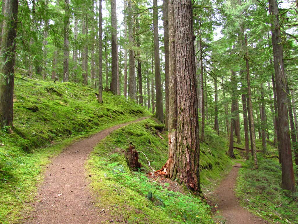
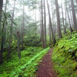
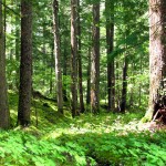
Laughingwater Creek is moderately steep as it climbs up and over a knoll, dropping a bit as it follows the broad spine of a forested ridge. Vine maple is a good indication this trail would make a brilliant fall color hike in September and October.
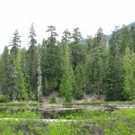
A marshy pond comes into view at about 1.5 miles; in August, pond lilies were scattered across the surface. We looked in vain for a spur to the edge of the pond but it is surrounded by impenetrable brush. Here you may also catch the scent of elk as the pond is a water source and there are nearby sheltering trees.
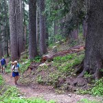
After the pond the steepness eases and big trees compete for your attention. You’ll see Alaska cedars, Douglas firs and Pacific silver fir, some of which are believed to be 700 years old. In summer, vanilla leaf and Canadian dogwood hug the gnarled roots of these giants. As the trail weaves through this monumental forest, several small tributaries are crossed however by August some of these are dry. Though the trail is a far cry from the flower trails of Paradise you’ll find saprophytes, bead lily, vanilla leaf, bunchberry (Canadian dogwood), columbine, hellebore and marsh marigolds.
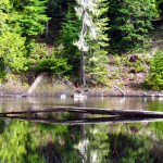
Small meadows alternate with forest along the final stretch of the trail as it levels off to contour below a forested ridge. Earlier in the year avalanche lilies and marsh marigolds dot the meadows after snow melt; a small pond (right) comes into view near the trail just above the lakes.
Here trail sleuths may also ferret out a stretch of the abandoned Boundary Trail near Three Lakes that once bordered the park. On a previous hike we found metal signs for the Park Boundary but no obvious tread. Further research indicates the abandoned Boundary trail might be found near the tarn above Three Lakes.
Just past the abandoned Boundary Trail, another trail once led to Sheep Lake (left) but we didn’t find it. For such exploration a backpack is better suited so you can allow time for exploring abandoned trails. Current hiking guides don’t mention these trails though they appear on the 1978 Green Trails map (No. 271) for Bumping Lake and Harvey Manning mentions them in older editions of “50 Hikes in Mount Rainier National Park”. Only strong, experienced hikers with navigational and cross-country hiking skills should attempt to explore these trails.
From the hellebore-fringed pond the trail drops as the first of Three Lakes comes into view through the trees. By the time you get to the lakes and the Three Lakes Patrol cabin (elevation 4,723 feet) you might be ready for lunch. Two of the three lakes are nestled side-by-side, connected by a narrow strip of land. The recently restored Three Lakes patrol cabin sits above two of the lakes, the lakes snuggled so closely together they barely seem separate entities. Here you will find designated campsites including a group camp near the lakes and a secluded privy just uphill from the patrol cabin.
The third lake is a little further along the trail (right). That lake provides a seductive view of higher country but we didn’t linger; mosquitoes (which are thankfully gone by September) drove us away. Strong hikers or backpackers can continue another 1-1/2 miles or so to the Pacific Crest Trail and other delights beyond.
Trailhead access: Take Hwy 410 or US Hwy 12 to Cayuse Pass (Highway 123) which leads to the Stevens Canyon Entrance of Mount Rainier National Park . Do not go into the park but proceed about 1/3 of a mile past the entrance (north) to the trailhead (left), elevation 2,000 feet. Parking is limited with room for only a few vehicles.
It is a little over 12 miles round-trip to Three Lakes with about 2,825 feet elevation gain including ups and downs. Allow about 6-7 hours. The maps are Green Trails No. 270 Mount Rainier East and Green Trails No. 271 Bumping Lake.
For additional information on this trail and others in the park refer to “50 Hikes in Mount Rainier National Park” (Mountaineer Books), visit Mount Rainier National Park website at www.nps/gov/mora or call 360-569-2211.
– Karen Sykes, Visit Rainier Hiking Expert
Waypoints
| Starting Point: 46.751111, -121.558056 | |
|
Notable Waypoints: Trailhead: N 46° 45′ 04, W 121° 33′ 29 |
|
The nearest lodging is located in Packwood, Washington. For more information on this area click here.