| Area: Ashford |
Hike Type: Off the Beaten Track | Pass: No Pass Req |
| Distance: 8.4 mi RT | Duration: 6 hrs | High Point: 5,200 ft. |
| Elevation Gain: 1,600 ft. | Snow-Free: July – October |
-
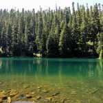
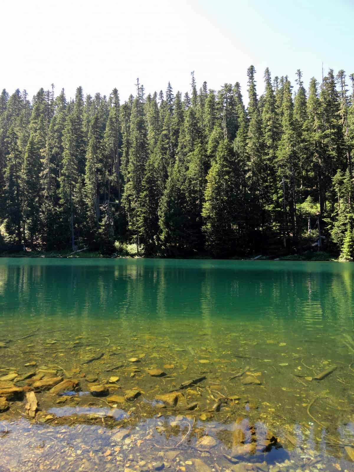
- Lake Wests greenish tinted waters
-
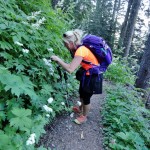
- A hiker stops to admire woodland wildflowers

-

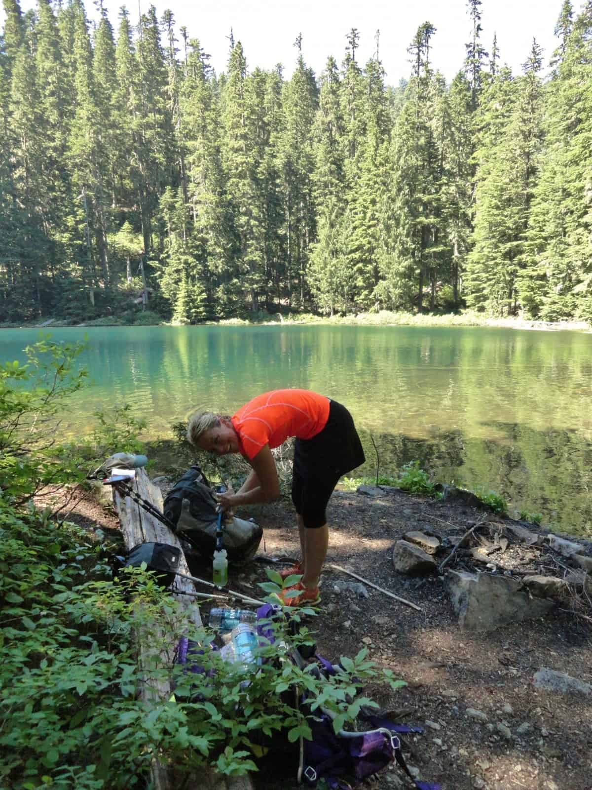
- A hiker takes a beark at Lake West
-

- An old sign still provides some guidance

Hike to two tiny and remote lakes close to Mount Rainier, but far from the crowds. Located in a small wilderness and adjacent roadless area just outside of the national park, these little backcountry lakes are rarely visited. Perhaps it’s due to the road leading to the trailhead is a little rough in spots. Or maybe it’s because most hikers who do visit this area opt for the mountain scenery from Glacier View and choose not to hike down off of that ridge to the forested lakes.
But despite having an uphill return, the hike to Lake Helen and Lake West isn’t too long or too difficult. And despite lacking views of Mount Rainier, the lakes’ settings deep in old-growth timber on a high ridge above the crashing glacier-fed Puyallup River is as appealing as any area within the national park. Best of all, unlike most of the lakes within the park, you’ll probably be sharing these little bodies of water with no other hikers. Deer, elk, and bear, however, may stop by while you’re passing through.
This hike starts from the main trailhead leading into the Glacier View Wilderness, a small (3,080-acre) but a significant tract of virgin timber, small rugged peaks, and several subalpine lakes. In the heyday of logging in this region in the 1970s and early 80s, this area was threatened with being completely clear-cut. The 1984 Washington Wilderness Act with its strong bipartisan support afforded permanent protection to this ecologically rich tract along with many of other prime wildlands across the state.
From a lofty trailhead elevation of 4,600 feet at the edge of an old cut, sign in at the kiosk and immediately enter old forest. Pass a small wetland, enter the Glacier View Wilderness and come to a junction. The trail right leads to Mount Beljica, Goat Lake and Gobblers Knob within Mount Rainier National park. Put these destinations on your must-hike list.
Now turn left and follow the Glacier View Trail steadily climbing along the saw-tooth-like ridge making up the western boundary of the Glacier View Wilderness. Soon skirt a pointy knoll, one of many along the ridge crest. Then descend slightly before steadily climbing again. Skirting steep forested slopes reach a small gap. Here the trail bends left to dart across a wildflower-bursting slope beneath the rocky summit of a 5507-foot unnamed summit, the highest peak in the wilderness area.
Traverse more steep slopes before reaching at 1.8 miles the ridge crest and a junction (el. 5200 feet). The trail left leads 0.3 miles to 5450-foot Glacier View, the site of an old fire lookout. The views from it are breathtaking—especially of Mount Rainier, which is close enough, you can practically feel its icy breath. Definitely consider making a side trip here now or on your return from the lakes. Chances are good too that if you’ve encountered anyone else on the trail today, they are probably heading for Glacier View. You want to continue straight on a trail that gets considerably less use and maintenance. There are a few brushy spots and a couple of trees to climb over, but the trail is in fairly decent shape and route finding is not an issue.
Through gorgeous old-growth forest the way switchbacks down from the ridge soon coming to a small marshy area that’s usually flush with flowering plants in early summer. At 2.4 miles come to a junction marked with a sign that’s seen better days. The trail right leads to Lake West. The trail straight ahead goes to Lake Helen. Your choice on which one you want to visit first.
For Lake West bear right and head west 0.5 mile. The way continues to descend coming to a creek crossing before briefly climbing to Lake West (el. 4582 feet). The lake is set in a deep bowl completely surrounded by thick old timber. There are some nice camps if you want to spend the night and you might even be able to cast for a fish or two. Mosquitoes can be a little troublesome the first half of summer. If the pesky buzzers aren’t hassling you too badly, definitely plan on spending some time relaxing along the lakeshore. Otherwise retreat a half mile back to the last junction.
Now head right on an even less trodden but still decent trail. The way soon leaves the Glacier View Wilderness entering the 890-acre Deer Creek Roadless Area. Conservationists would like to see this tract of old-growth forest embracing Lake Helen and abutting cut-over lands permanently protected by adding it to the Glacier View Wilderness.
The trail passes through a small marsh before slowly descending through attractive forest reaching pretty little Lake Helen (el. 4612 feet) in 1.3 miles. From the lake’s south shore there are good views of 5,404-foot Puyallup Point rising above the lake. Near the lake’s outlet (a tributary of Deer Creek) are some small camps. A handful of impressive old Alaska yellow cedars grace the lake’s shores too adding to the beauty of this setting. Cherish the solitude and when you must leave, retrace your steps 1.3 miles back to the previous junction. From there a climb and 2.4 more miles await you to get you back to the trailhead. Of course, you’ll probably be lured to do the 0.6 mile roundtrip side trip to Glacier View for some incredible Mount Rainier views. The extra distance and climb is well worth it.
Notes: Wilderness regulations apply. Free day permit required—sign in at the trailhead.
FR 59 is rough in spots but is passable for passenger cars. Dog and kid-friendly.
Green Trails Map Mount Rainier West, WA no. 269 shows all Glacier View trails.
Contact Cowlitz Valley Ranger Station (Randle), Gifford Pinchot National Forest for updated information on this trail and access roads; (360) 497-1100; http://www.fs.usda.gov/giffordpinchot
Getting to Lake Helen and Lake West
From Elbe, follow SR 706 east (passing through Ashford) for 11 miles. Turn left (north) onto graveled Copper Creek Road (FR 59) and follow for 8.6 miles to road’s end and trailhead.
– Craig Romano, Hiking guidebook author of nine books
Waypoints
| Starting Point: N46 47.772 W121 56.855 | |
|
Notable Waypoints: Glacier View Summit trail junction: N46 48.955 W121 56.996 |
|
Written by Craig Romano