| Area: Chinook Pass |
Hike Type: Overnight | Pass: Overnight Camping Permit |
| Distance: 15 mi RT | Duration: 2 days | Difficulty Level: Strenuous |
| Elevation Start: 2,950 | Elevation End: 5,700 | Elevation Gain: 2,750 |
| Snow-Free: July – Oct |
-
- View from gap on Sourdough Ridge
-

- Old benchmark denoting national park boundary

-
- Descending to Forest Lake basin
-
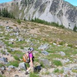
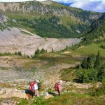
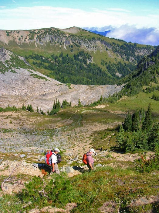
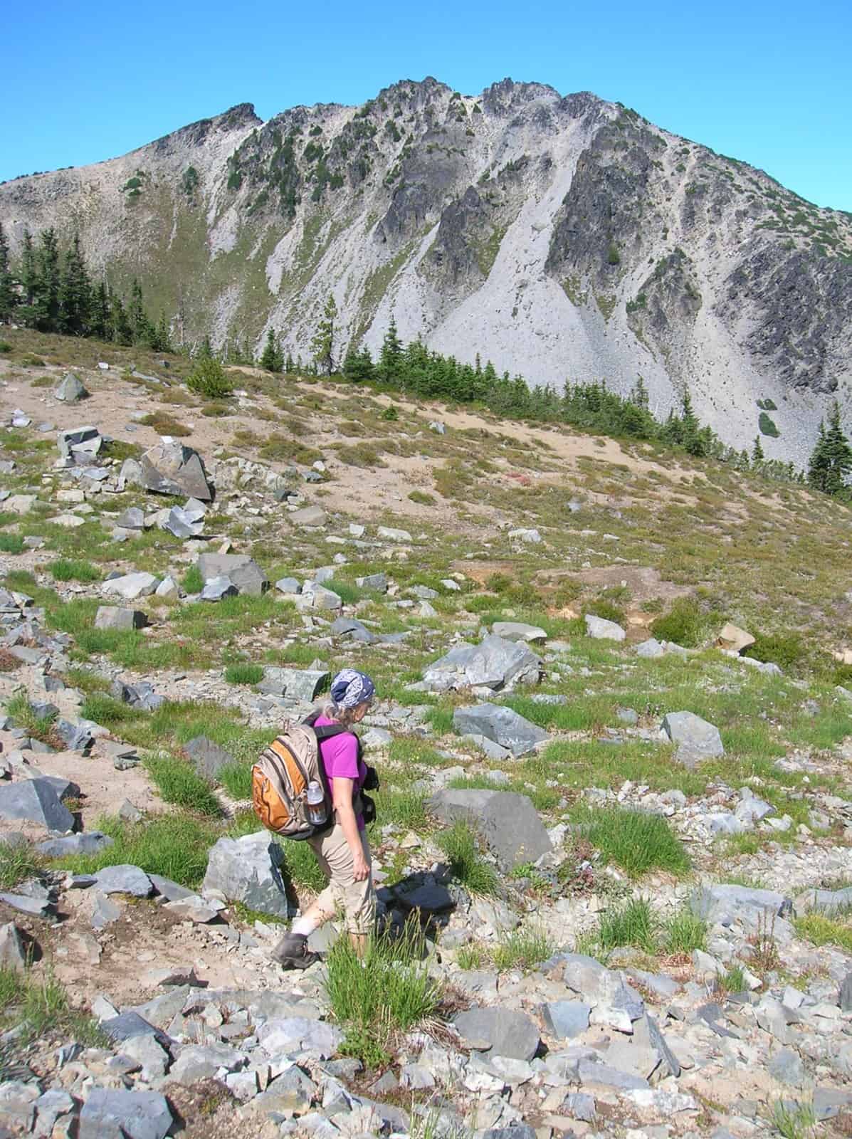
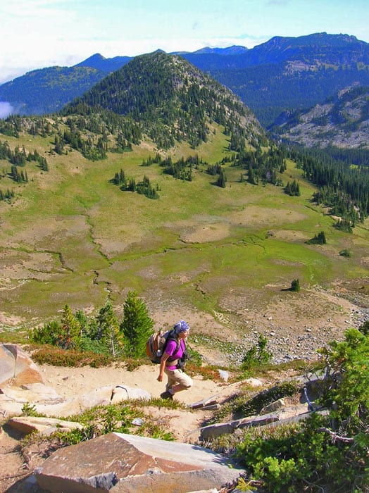
- Karen Sykes hiking in high basin below Mount Fremont
-
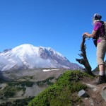
- Karen admiring Mount Rainier from the gap high on the Huckleberry Creek Trail

-
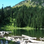
- Forest Lake1

-
- Descending in Huckleberry Basin
-
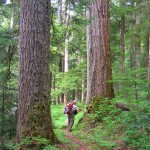
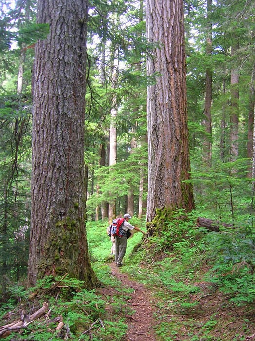
- big trees along Huckleberry Creek Trail
-
- Huckleberry Creek flows through magnificent old growth forest

-
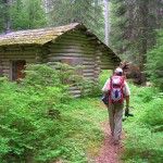
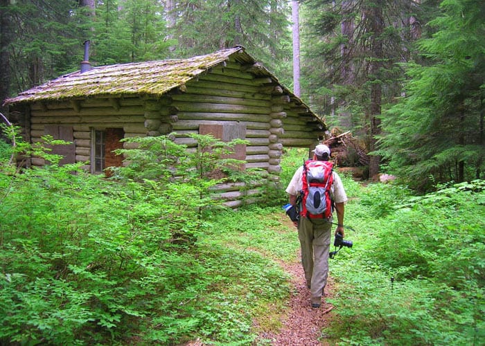
- Old guard station
-
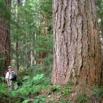
- Massive old growth Douglas fir

One of the quietest and loneliest trails within Mount Rainier National Park, Huckleberry Creek rewards intrepid and inquisitive hikers with not only the opportunity for real solitude but also with a chance to walk among some of the park’s grandest and oldest trees. Starting in the Mount Baker-Snoqualmie National Forest, the trail utilizes a historic route predating the park. Winding through groves of ancient trees as magnificent as “the mountain” and older than the nation the trail ends high in the alpine tundra of the Sourdough Mountains.
For backpackers, your destination along this trail is pretty little Forest Lake, located at an elevation of 5,600-feet within a cirque beneath 7,181-foot Mount Fremont. But before setting out, be sure to secure your camping permit for Forest Lake. There is only one site available at the lake which guarantees you’ll have the whole lake to yourself-except of course for the resident deer, bears, goats, and other critters!
You can hike out and back to Forest Lake from FR 73 in the Mount Baker-Snoqualmie National Forest or from Sunrise located within the national park. If you can arrange for a car shuttle, consider a one way downhill trip beginning from Sunrise. For early and late season trips your only option is to hike up from FR 73 as the road from Sunrise will be closed.
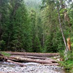
After locating the unsigned trailhead at a makeshift campsite along Huckleberry Creek start hiking upstream. Soon the trail reaches Lost Creek and turns left to follow along with this tumbling waterway. You’ll pass by an old logging road which is rapidly growing in and once served as Huckleberry Creek’s trailhead. Here, veer right crossing Lost Creek and soon afterward once again meeting up with Huckleberry Creek.
At just shy of 1.5 miles you’ll come to Mount Rainier National Park at a boundary post which was placed there in 1908. That was the same year that the Snoqualmie National Forest (later combined with the Mount Baker National Forest in 1973) was established from the greater Washington Forest Reserve. Mount Rainier National Park, however, had already been established, becoming the nation’s fifth national park in 1899.
Now enter the park through an entrance all but forgotten since the Mather Highway (SR 410) was built providing faster and easier access to this beloved national treasure. Check out the old guard house where rangers were once stationed and greeted park visitors. While this historic structure is still intact, it is in desperate need of rehabilitation.
Continue deeper up the Huckleberry Creek Valley passing through spectacular groves of primeval forest housing monstrous Douglas-firs. At first, the way is pretty gentle traversing lush creek flats. But, eventually, the grade increases, gently at first, moderately soon afterward. At about 4.0 miles, cross Josephine Creek on a bridge.
Then climb higher up the deeply forested valley, marveling at luxuriant stands of ancient timber. The trail temporary bends away from Huckleberry Creek to cross Prospector Creek. Expect to get your feet wet hopping across this waterway and at another creek soon afterward, where a bridge once provided dry passage.
Beyond, the way once again steepens heading up a ridge sporting more old growth giants and shrouded with huckleberry bushes. Hop over Huckleberry Creek and a few small tributaries and then make one final steep climb to arrive at Forest Lake flanked by yellow cedars and cradled within a semi-open bowl beneath Mount Fremont’s northwest ridge. Here at an elevation of 5,700-feet and at a distance of 7.5 miles from the trailhead locate the inviting and tranquil lakeside campsite near the lake’s outlet.
Once sent up, consider late evening and early morning lakeside rambles for spotting some of the numerous wild critters that inhabit this remote corner of the park. Scout for their tracks, signatures of their passing in creek beds and along the shoreline. Also from your lakeside camp, consider hiking to the end of the Huckleberry Creek Trail.
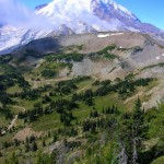
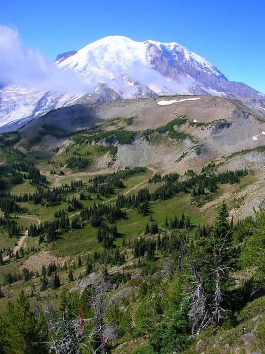
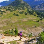
The trail continues southward winding through breathtaking high-country-first parkland meadows, then subalpine forest and wildflower meadows, followed by barren rocky tundra. The trail snakes around a gorgeous open basin (where snows linger well into summer), and climbs above emerald Huckleberry Basin. At just shy of two miles from your camp you’ll come to a 6,900-foot notch on the Sourdough Mountains. Here brace yourself for an in-your-face view of Mount Rainier! And if you can cast your eyes away from the colossal peak, the views back over the Huckleberry Creek valley are pretty impressive too.
If you’ve made this trip into a one-way journey, the trailhead at Sunrise is just a mere 0.8 mile away.
Overnight permits required and can be acquired by making a reservation or in person at the White River Wilderness Information Center (360) 569-2211 ext 6030, www.nps.gov/mora;
Special rules: No Fires-use camp stove. Dogs prohibited;
Trailhead directions: From Enumclaw follow SR 410 east for 25 miles turning right onto FR 73 (just before The Dalles Campground). Continue on FR 73 (high clearance recommended) for 6 miles to bridge crossing of Huckleberry Creek. Park in pullout left and locate the unmarked trailhead on the east side of the creek.
Waypoints
| Starting Point: 47.0092, -121.61707999999999 | |
| Notable Waypoints:
Trailhead: N 47 00.551′, W 121 37.024′ |
|