| Distance: | 7.5 miles, RT |
| Hiking Time: | 4 hrs |
| Elevation Gain: | 700 ft in / 900 ft out |
| High Point: | 6,150 ft |
| Snow Free: | Mid-July – Mid-October |
| Trailhead Pass: | National Park Pass Required |
| GPS Waypoints: | Trailhead: 46° 55′ 03″ N & 121° 35′ 16″ W Clover Lake: 46° 55′ 43″ N & 121° 35′ 38″ W |
 |
| Photo Credit: Janelle Walker |
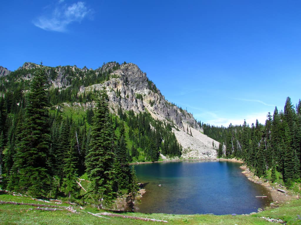
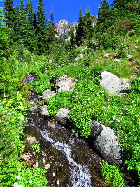
The Palisades Lake Trail, out of Sunrise Point, is one of those hikes where you can do as little or as much as you want. This trail passes by six pristine, alpine lakes, like jewels on a necklace. Each can be a destination in itself or a site for pictures before moving on. You will probably find picas in great numbers and a marmot or two in the rocks. You may even come upon a few deer or elk grazing in the giant meadows. This is a great fall hike… all the colors are brilliant, the air is cool and the bugs are few. (Although August is the perfect time to see the meadows carpeted with wildflowers, the bugs, especially the mosquitoes, are numerous.)
 |
| Photo Credit: Janelle Walker |
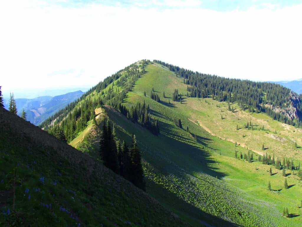
The trailhead to the Palisades Lakes begins at Sunrise Point, about 3 miles BEFORE the Sunrise Visitor’s Center. You can’t miss the large parking lot inside the hairpin turn in the road. There are always people walking around taking pictures from this ridge. From here, the view of Mt. Rainier is exceptional and you can even see Mt. Adams in the distance to the south. The trail goes east from the parking lot and follows the ridge for a short distance before dropping steeply down the north side. Remember at this point that if you drop down, you must be able to come up the same steep hillside.
 |
| Photo Credit: Janelle Walker |
If Sunrise Lake is NOT your destination you will need to hang a right BEFORE reaching the bottom of the hill. (There is a sign at this junction.) The trail continues on through forest alternating with meadow on fairly level ground to Clover Lake, 1.5 miles from the parking lot and the second and largest lake in the chain. Clover Lake, another great spot for a picnic lunch, is a good destination for a family outing with older children. Note: there are small trails along the banks… please don’t stray off of them, as the meadow is fragile and is easily damaged by hiking boots.
 |
| Photo Credit: Janelle Walker |
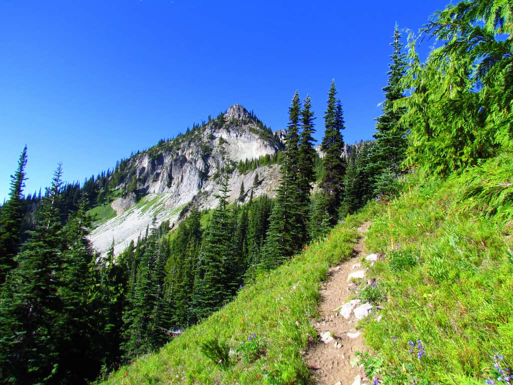
If your destination is still the Palisades Lakes, stay right at the Hidden Lake Junction. You will pass by Tom, Dick and Harry Lakes on the right side of the path. (Dick Camp is located on a short spur trail.) The trail continues on through rolling meadows and woods until you reach Upper Palisades Lake on the left (at 3.5 miles from the trailhead). After a relaxing rest and delicious lunch (and perhaps a quick swim), you will be ready for the 3.5-mile hike back to the parking lot.
– Mary Janosik, Visit Rainer Hiking Expert
For more information on visiting Mt. Rainier, go to visitrainier.com.
Visit Rainier is a not-for-profit, non-membership destination marketing organization that promotes tourism in the gateway communities around Mt. Rainier.