| Area: Carbon River |
Hike Type: Waterfall view |
Pass: Natl. Park Pass |
| Distance: 6.4 mi RT | Duration: 4.5 hrs | Difficulty Level: Easy |
| Elevation Start: 2,150 | Elevation End: 2,200 | Elevation Gain: 50 |
| Snow-Free: April – Oct |
-
- IMG 1348
-
- IMG 1393 1

-

- IMG 1337

-
- MG 2949
-
- MG 2960
-
- MG 3016
-
- MG 2973

-
- MG 2963
At one time, this was a short hike to the base of a spectacular waterfall. The trailhead was at the parking lot just off the Carbon River Road and the trail took you across the spacious Carbon Riverbed, back into the lush green forest. The soothing, but stimulating sounds of falling water got louder as the trail took you closer to Chenuis Falls.
Well, today there is a slight variation to this very enjoyable day hike… there’s a 3+ mile walk before arriving at the Chenuis Falls Trailhead. In November of 2006, 18 inches of rain fell in the mountains in 36 hours. Severe washouts on the road and Ipsut Campground caused the Park to close the road to vehicle traffic beyond the Carbon River Entrance Gate, indefinitely. Thus, a short walk to a pretty waterfall for a picnic was turned into a long walk to the trailhead of a short hike. The road, however, is easy walking and bicycles are permitted. From the entrance gate, there is a slight incline, making for a quick ride coming out.
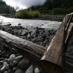
For those of us who knew the way things were before 2006 flood, the transformation of the forest is unbelievable. A half-mile of road is totally unrecognizable in the largest of the washouts. Many trees, some 500-years old, now lie on their sides; in nature, water always wins. The Carbon River corner of Mt. Rainier National Park is in a constant state of change thanks to Mother Nature. The river has run havoc on the valley roads since they were created.
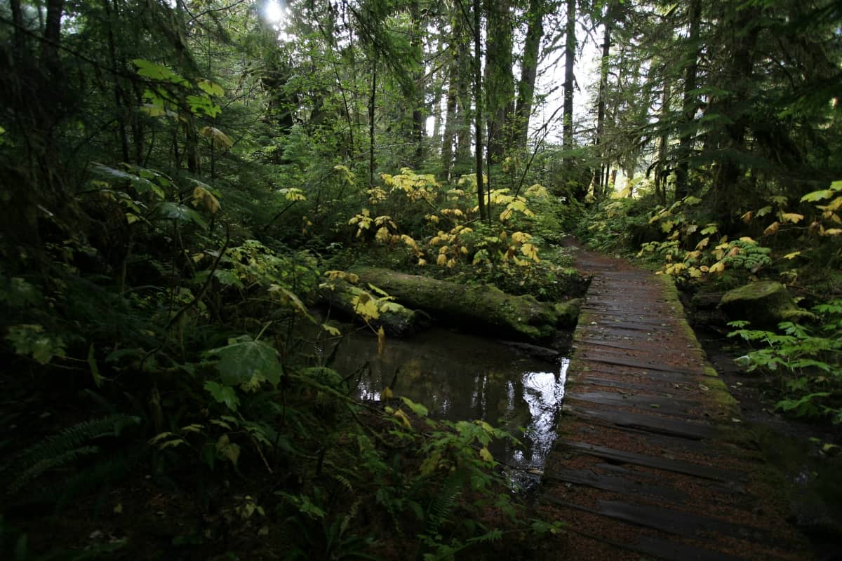
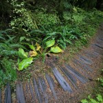
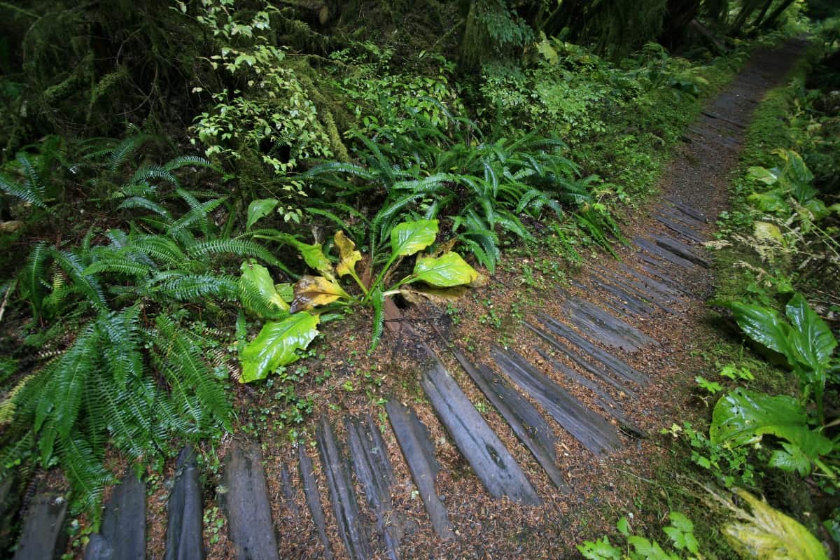
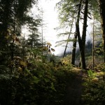
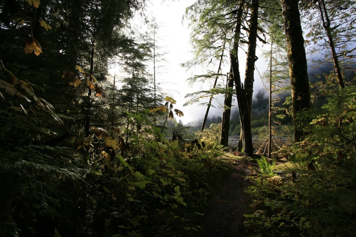
Now, don’t get the wrong idea; the 3.4 mile journey along the abandoned Carbon River Road to the Chenuis Falls Trailhead is a lovely walk. And I use the word “Road” rather loosely. Nature is quickly reclaiming this gravel road, and many parts of this section of trail are new due to the river’s new path. Witness the power and beauty of Nature. The enchanting road winds through the temperate rainforest as the sunlight filters through the dense canopy. This pristine area of the park will leave you inspired.
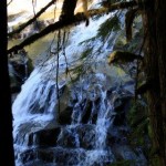
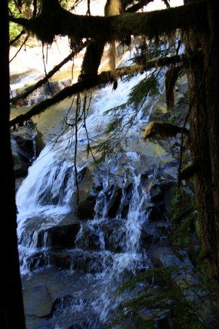
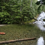
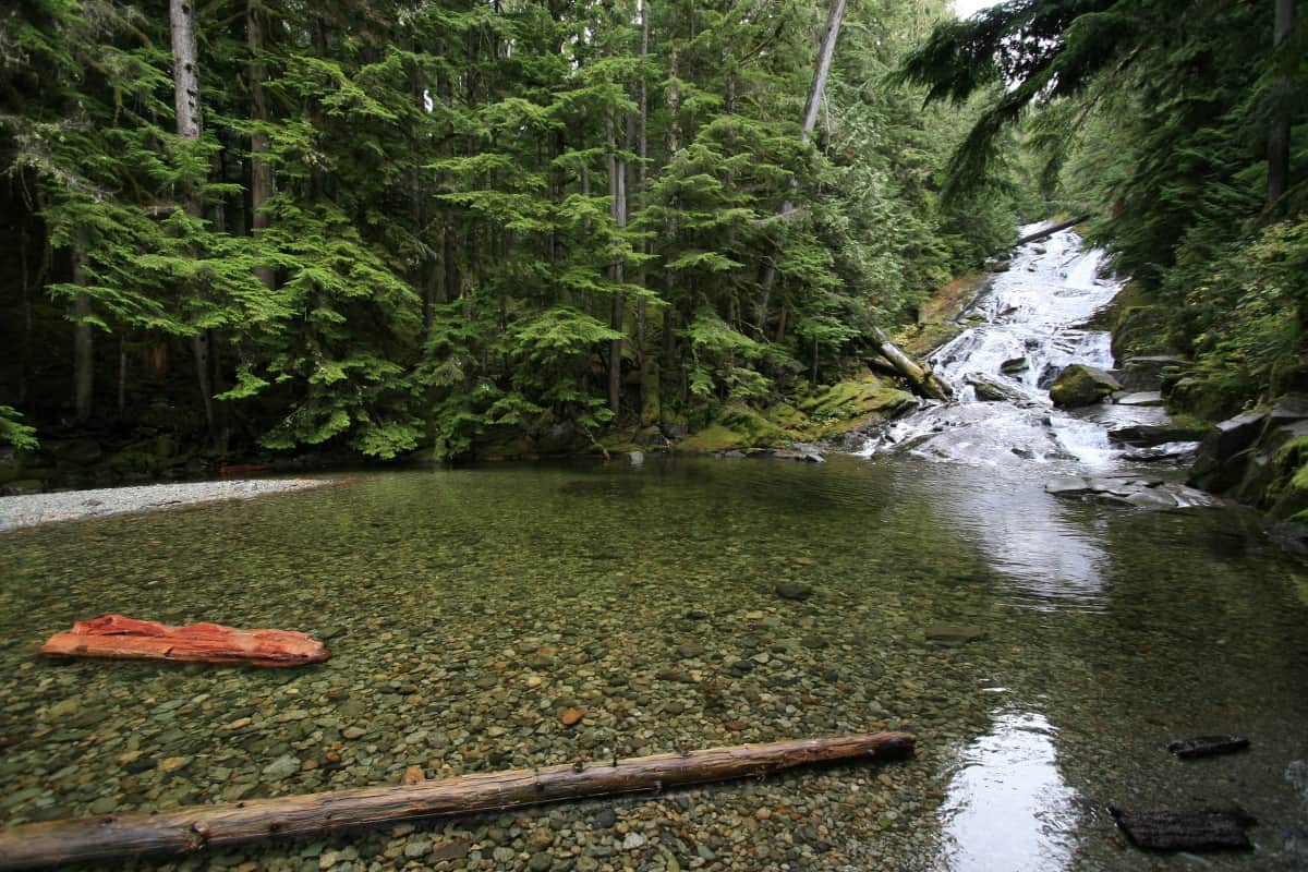
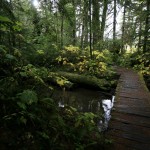
Once you arrive at the Chenuis Falls Trailhead, the sign directs you down into the Carbon Riverbed. There are usually 4-5 log bridges crossing the floodplain, with well marked trails running between them. If you see stacked rocks, leave them as they are… these cairns also show the way. Although the waterfall is not far and valley floor is very flat, walking on uneven round, river rock can get tricky…a serious consideration when choosing a trail. Once you get across and back into the woods, you begin to hear falling water and remember your destination. Short spur trails off the main trail take you to several unique angles of this waterfall. It resembles a series of water slides, broken up occasionally into crystal clear pools. It’s an idyllic place to spend a sunny, summer afternoon.
The main trail continues to travel up the mountain for quite a ways and doesn’t really go anywhere, so I’ve heard. We’ve hiked it about three miles and enjoyed the scenery and the work-out before heading back.
In early spring, the waters of the Carbon River are high and fast. Sometimes the bridges disappear, so it’s always a good idea to check conditions of the road into the trailhead as well as the trail across the riverbed.
This is a unique area of Mt. Rainier National Park and it remains open when the Sunrise side of park is closed for the winter. Try the Carbon River Road in snowshoes for a different kind of adventure.
– Mary Janosik, Visit Rainier Hiking Expert
Waypoints
| Starting Point: 46.990418,-121.844232 | |
| Notable Waypoints:
Trailhead: N 46° 59′ 26, W 121° 50′ 39 |
|