| Area: Stevens Canyon |
Hike Type: Mountain views | Pass: Natl. Park Pass |
| Distance: 2.6 mi RT | Duration: 2.5 hrs | Difficulty Level: Moderate |
| Snow-Free: July – Oct | High Point: 5,960 ft | Elevation Gain: 1,100 |
-
- 260
-
- DSC03409

-
- 253

-
- 245
-
- 231
-
- 233

-
- DSC03456

-
- DSC03406

-
- 237

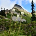
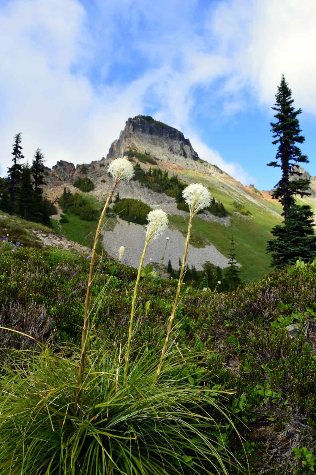
Features: kid-friendly, wildflowers, alpine views, excellent view of Paradise
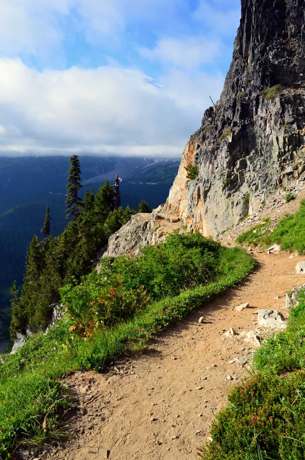
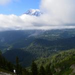
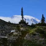
Hike a short but down-to-business trail to a gap high in the craggy Tatoosh Range. Then enjoy the finest view of Paradise to be had from anywhere in the park. Pick out the Paradise Lodge in the parkland meadows. Watch climbers head up the Muir Snowfield. Trace the massive Nisqually Glacier from Rainier’s summit all the way to the fringes of Paradise. Marvel at the Reflection Lakes twinkling below—then savor sweeping views south to the Cowlitz Valley and beyond.
Hit the Trail:
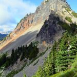
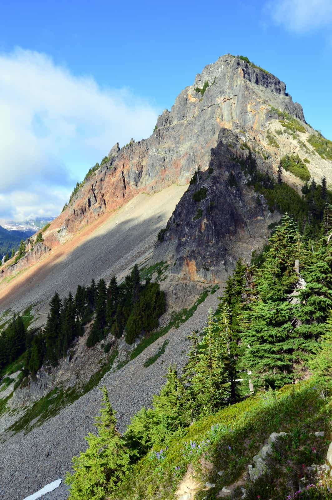
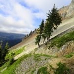
The Tatoosh Range forms a rugged wall of saw-toothed peaks south of Mount Rainier. Viewed from the meadows of Paradise, this range looks forbidding—hospitable only to mountain goats and mountain climbers. Only a few trails dare head into this impressive snow-and glacier capped rocky alpine fortress. The Pinnacle Saddle Trail delivers you right to the heart of the range to a small deep cleft directly due south of Paradise. No surprise then, it delivers stunning views of the famed flower gardens of Mount Rainer National Park.
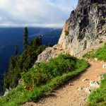
From the busy Reflection Lakes negotiate your way through throngs of folks from points near and far trying to capture an iconic shot of a mirror image of The Mountain. Locate the trailhead and immediately leave behind the crowds. The trail is wide, well-built (check out the stone work along the way) and well-maintained—but still steep! Many a hiker is taken by surprise on this trail thinking that its mere 1.3 mile course means it’s just a walk in the park. It’s the 1,100-feet of vertical gain within that short distance that will tax your heartrate. Also, be aware that lingering snow on a few steep sections can make this trail downright dangerous in early season. Exercise caution—and don’t be afraid to turn around at a scary point and head over to Paradise instead if snowfields are a concern.
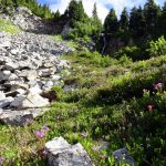
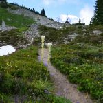
Now waste no time heading for higher ground. Pass through beautiful groves of mountain hemlocks and Alaska yellow cedars and boggy pocket meadows of sedges birthing gurgling rivulets. The way then rounds a forested rib before crossing a cool cascading creek. You just might get your boots wet here—and on a warm day you may welcome the chance to dunk your bandana in this refreshing waterway.
Continue upward traversing a talus slope. Look up at snowmelt fueled crashing cataracts. The trail soon steepens marching across slopes of talus and heather. Here snow often clings to these steep northern slopes and can make travel potentially difficult and dangerous. Exercise caution and don’t hesitate to turn around if need be—the trail will be here when you return at a better time.
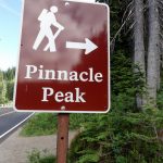
Now with each step upward, the view of Rainier and all of her glory grows grander. Particularly impressive is the view of the Nisqually Glacier from Rainier’s summit to its deep trough 9,000 feet below. Switchback across more talus and skirt beneath walls of volcanic rock reaching 5950-foot Pinnacle Gap at 1.3 miles. As impressive is the view of Paradise from the gap, a frame of steep walls restricts viewing. So consider exploring a little from the saddle. User paths head east and west. The one east it Pinnacle Peak is strictly a climber’s path and should be avoided.
The paths east to Denman Peak and Plummer Peak can be safely followed for short distances. Be sure to stay out of the Butter Creek drainage to the south as to not disturb this pristine research natural area. The views south down the drainage are impressive. So too are the views farther south to Mount Adams, Mount St Helens and a whole sea of green ridges and peaks in between. Stay for a while watching for pikas in the talus, marmots in the meadows, and deer at forest edges. And consider staying later in the day for exceptional evening photography. It’s a short hike out—so you should have enough time to get that alpenglow shot of Rainier with enough daylight to hightail it back to the trailhead.
Notes: Dogs-prohibited
Contact: Mount Rainier National Park; https://www.nps.gov/mora/index.htm; (360) 569-2211
Maps: Green Trails Mount Rainier National Park 269S
Trailhead directions: From Elbe, follow SR 706 east (passing through Ashford) for 14 miles to the Nisqually Entrance of Mount Rainier National Park. Then continue east on the park’s Paradise-Longmire Road for 17 miles bearing right onto the Stevens Canyon Road. Continue another 1.4 miles to trailhead.
Trailhead facilities: Privy and picnic tables
– Craig Romano, is an author of more than a dozen hiking guidebooks including the newly released 100 Classic Hikes Washington (Mountaineers Books) which includes several hikes in and around Mount Rainier National Park.
Waypoints
| Starting Point: N46 46.096 W121 43.875 | |
| Notable Waypoints:
Pinnacle Saddle: N46 45.402 W121 44.150 |
|