| Area: Access points throughout park |
Hike Type: Overnight | Pass: Overnight Camping Permit |
| Distance: 93 mi | Duration: 10-14 days | Difficulty Level: Strenuous |
| Elevation Start: 3,200 | Elevation End: 6,700 | Elevation Gain: 3,500 avg daily gain/loss |
| Snow-Free: Mid-July – Early-Sept |
-
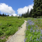
- flowers line the way through Indian Henrys Hunting Ground

-

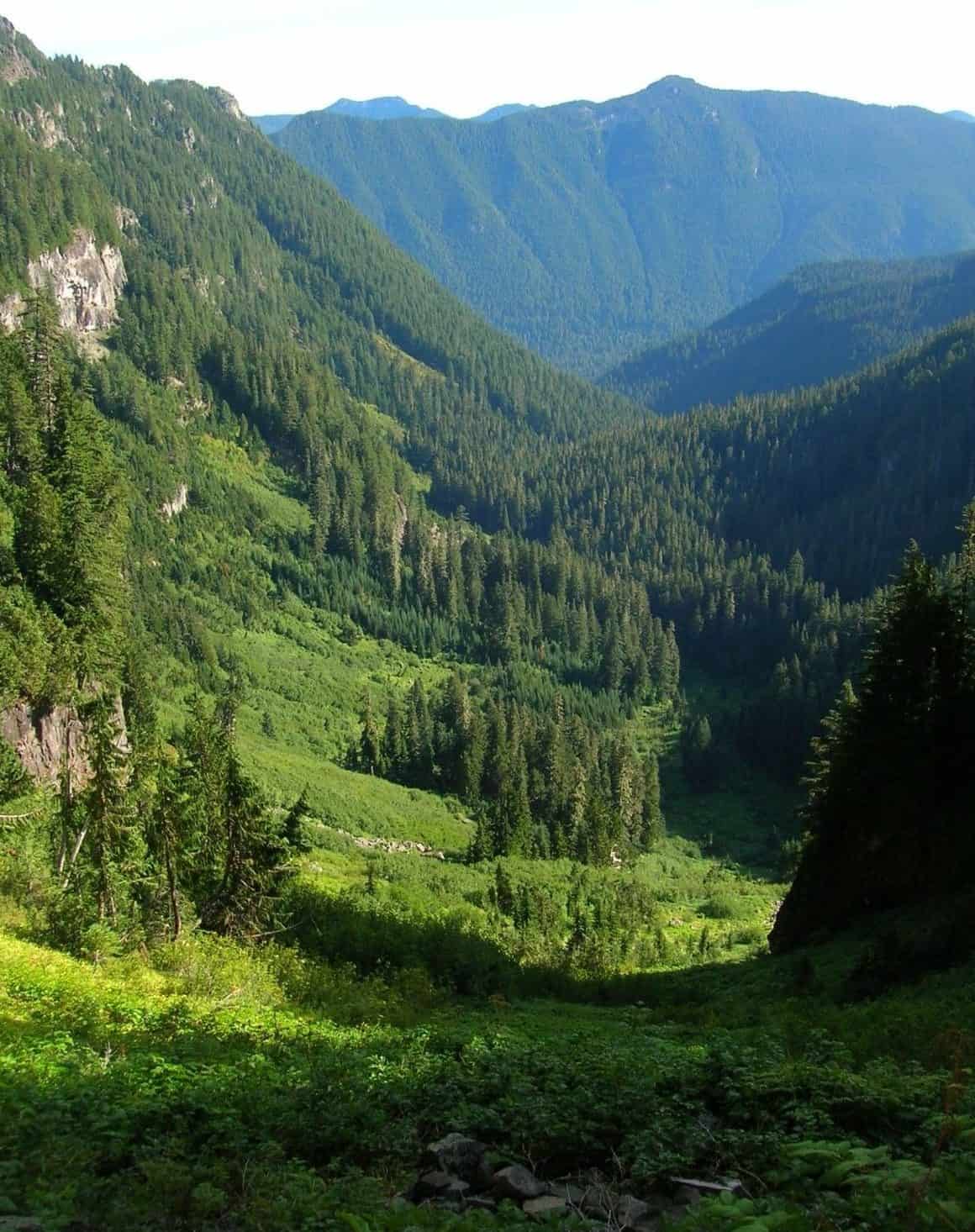
- Ipsut Creek Valley from Ipsut Pass e1529972265578
-
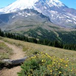
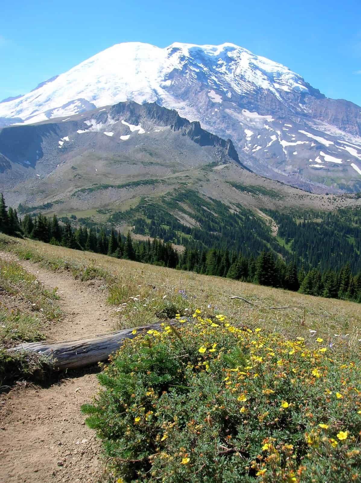
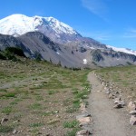
- Mount Rainier from Skyscraper Pass
-
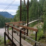
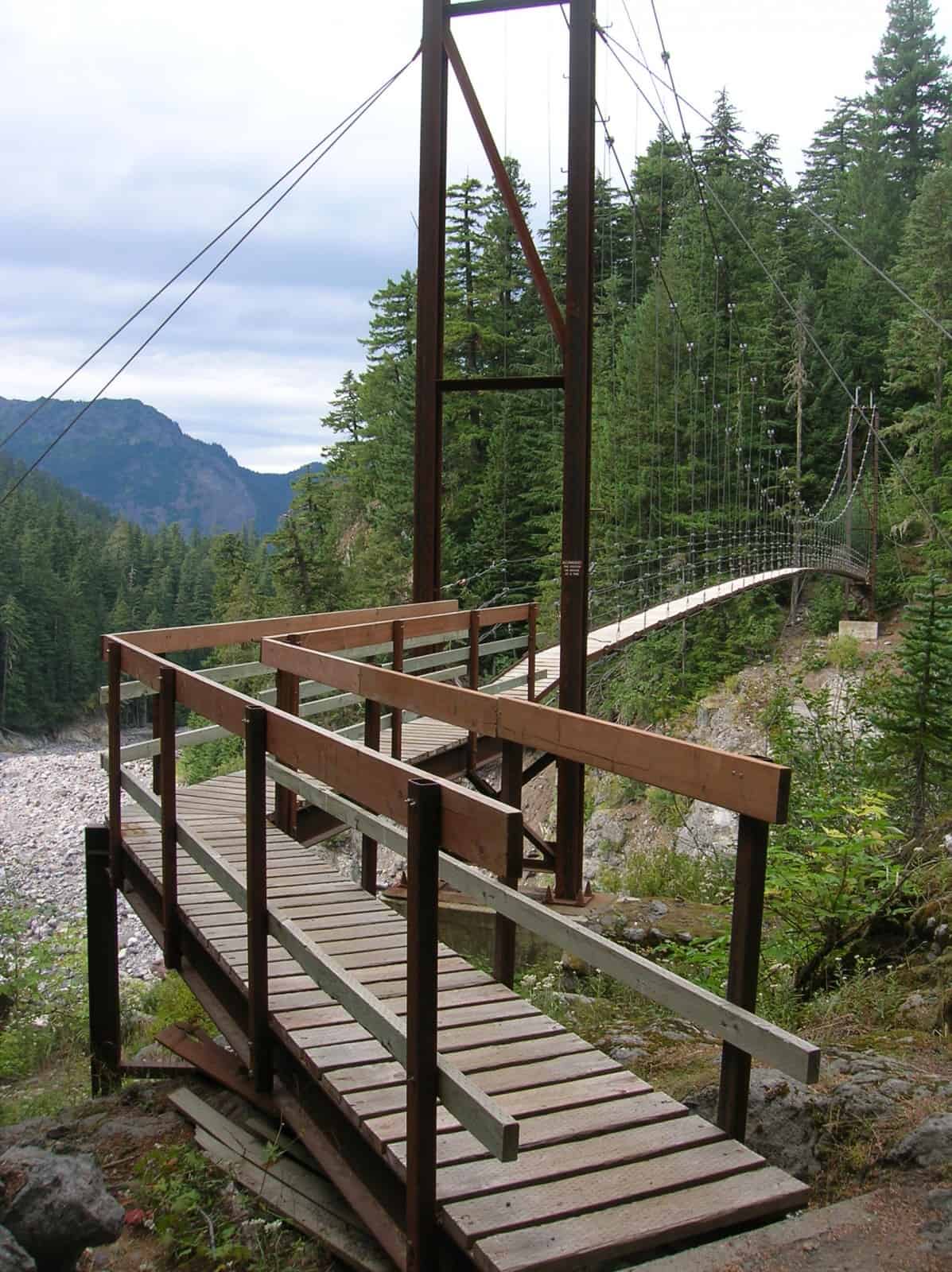
- The intimidating to some Tahoma Creek Suspension Bridge
-
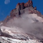
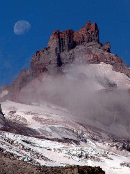
- little tahoma
-
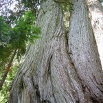
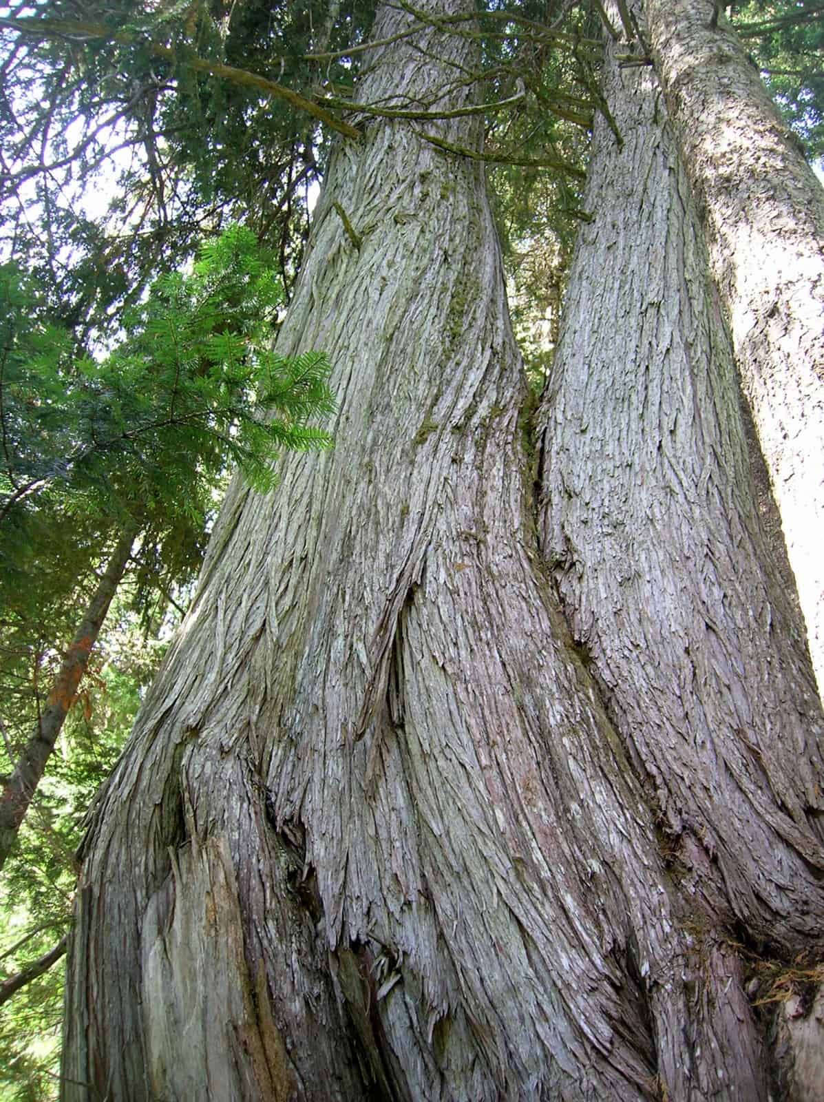
- monstrous old growth Alaska yellow cedars
-
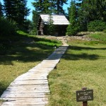
- historic patrol cabin at Golden Lakes

-
- Historic Patrol Cabin at Indian Henrys Hunting Ground 2

-
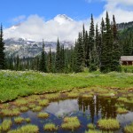
- one of the Golden Lakes with the old fire lookout site rising behind it

-
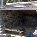
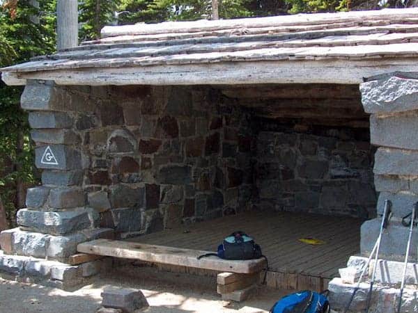
- shelter
-
- Wonderland Trail near the five trail junction

Wonderland Trail Map (PDF)
The Wonderland Trail Adventure (93 miles circumnavigating Mt. Rainier) is a serious trek to be considered only by skilled and trained individuals. The map waypoint shows the Wonderland trail starting at Longmire, with the trail over Rampart Ridge. In fact, there is no best starting point and no best direction. Hiking clockwise or counterclockwise is equally good.
The following information was obtained from the National Park Service website.
The Wonderland Trail is a distinguishing feature of Mount Rainier National Park. The establishment of the trail took place at the turn of the century when the “Wonderland” was an attraction used to promote park visitation. Later, rangers used the trail as a patrol beat. Original ranger cabins are still in use. The oldest cabin, constructed in 1915, is at Indian Henry’s Hunting Ground.
Today’s hikers find the 93-mile Wonderland to be one of the best ways to explore Mount Rainier National Park. The trail passes through major life-zones of the park, from lowland forests to subalpine meadows of wildflowers. Passing swift rivers, the trail leads to commanding views of Mt. Rainier cloaked in icy glaciers. As the trail circles the mountain, hikers witness the varied faces of Mt. Rainier, carved by 25 named glaciers.
Weather is a constantly changing factor. While summer is often dry and sunny, oceanic influences can also bring moisture as rain or snow at higher elevations. Hikers can find both company and solitude along the way. Although thousands hike the Wonderland Trail each summer, many stretches of the trail still provide the chance to be alone. Prior awareness of trail and weather conditions, wilderness regulations, and general hiking information about the park will enhance a trip along the Wonderland Trail.
Wilderness Permits
Mount Rainier National Park’s Wilderness Management Plan provides for Wilderness Camping Permits and Use Limits. Backcountry camps along the Wonderland Trail are extremely popular throughout the summer and Wilderness Camping Reservations are strongly recommended.
Two types of opportunities exist for overnight travel: trailside camps and cross-country zones. Eighteen trailside camps, 3 to 7 miles apart, are located along the Wonderland Trail. Each camp has 1 to 8 sites for 1 to 5 persons per site. These sites will hold at most 2 tents. Parties requiring space for 3 or more tents must camp in a group site. Group sites are available at certain camps for parties of 6 to 12 persons. These sites typically hold 3 to 5 tents. Each camp has cleared tent sites, a pit or composting toilet, and a nearby water source. Boil, treat, or filter all water before drinking! Most camps have food storage poles (“Bear Poles”) for hanging food and garbage.
Trail Conditions
The Wonderland Trail traverses many ridges and valleys that radiate from Mt. Rainier. A daily hike of 7 to 10 miles is recommended to compensate for the ruggedness of the trail. Daily elevation gains and losses of over 3,500 feet are common. Allow 10 to 14 days to hike the entire trail, depending on your daily average. The more time you give yourself, the more time you will have to enjoy the wonders of the Wonderland.
For complete trail descriptions refer to:
- “Adventure Guide to Mount Rainier” by Jeff Smoot
- “Discovering the Wonders of the Wonderland Trail” by Bette Filley
- “50 Hikes in Mount Rainier National Park” by Ira Spring and Harvey Manning
- “Hiking Guides to Mount Rainier National Park” (north, east and southwest sections)
These sources, along with other references and maps, are available for purchase at the park’s visitor centers or by mail order from the Northwest Interpretive Association’s Park Store.
Be prepared for mud, rain, sun, and snow. In many years the Wonderland Trail is still mostly snow-covered during June and early July. Delaying your hiking plans until mid to late July will allow time for snow to melt and give trail crews a chance to clear fallen trees and repair bridges. Do not travel at high elevations during storms without a strong map and compass skills. If possible, postpone travel until trail or weather conditions improve. An ice ax may be useful in negotiating snowy sections of the trail, especially during June and July. Beware of early snow storms in September! Check our website for current trail conditions. NOAA weather radio also provides helpful weather information daily.
Equipment
Pack the “10 Essentials” and be prepared for minor injuries, sudden weather changes, or delays. Always carry:
- first aid kit
- flashlight
- pocketknife
- map and compass
- stove and matches
- food and water (allow for 2 extra days)
- extra clothing
- rain gear
- sun protection
- tent
Information
-
Longmire Wilderness Information Center: 360-569-6650White River Wilderness Information Center: 360-569-6670Carbon River Ranger Station: 360-829-9639
Maps and Books
Northwest Interpretive Association 360-569-2211, ext. 3320# General Delivery Longmire, Washington 98397
Food Caches
By caching food and supplies at designated Ranger Stations along the Wonderland trail you can reduce the weight of your pack, and increase the ease of your outdoor adventure. Caching food and supplies at Mount Rainier National Park can be easy and trouble-free. The instructions listed below will, in most instances, provide all the information you need to cache food supplies at designated food cache areas. If you have further questions or need to make specific arrangements concerning time and pickup points for your cache, call or write to the desired cache areas listed below.
If you cache food and supplies remember that there is no guarantee that staff will be available at the time and day you arrive for the pickup. It would be a good idea to contact the park and check about the time you plan to make a cache drop-off or pickup. This may save you time and frustration.
Park-wide food and supplies cache instructions and things to consider:
- All caches must have the following information printed on the outside (away from the shipping label).
- FOOD CACHE FOR (PARTY LEADER’S NAME), FOR PICK-UP AT (NAME OF CACHE STATION), FOR PICK-UP ON: (DATE)
- All caches must be packed in rodent-proof containers (sealed hard plastic preferred).
- All caches must be dropped off or sent to stations listed below only; caches will not be transported from one area to another.
-
- Fuel cannot be mailed as it is flammable and it cannot be stored at any Ranger Station. The only place to purchase fuel in the park is at the Longmire Gift Shop.
-
- Longmire, Sunrise, and Mowich Lake are near the Wonderland Trail for easy cache pickup. The Ohanapecosh and White River Ranger Stations are not along the Wonderland Trail and require a side trip to reach a cache at these locations
Caches are stored at the Longmire Wilderness Information Center and can be dropped off or picked up during normal business hours at the center from Memorial Day Weekend to September 30. At all other times, food caches should be dropped off or picked up by contacting a ranger at the Longmire Museum, 360-569-2211 ext. 3314.
Longmire Cache address: UPS and FedEx are the only two options for mailing your food cache to Longmire.
For White River or Sunrise Caches
For Mowich Lake: UPS or FedEx:
Call 360-569-HIKE beginning Memorial Day Weekend for further assistance.
MOWICH LAKE
The cache for Wonderland Trail backpackers in the northwest portion of the park is normally the Mowich Lake patrol cabin. Although the Wonderland Trail passes through the Mowich Lake area, backpackers are cautioned that there is no formal mail delivery to Mowich Lake and packages may be later than expected arriving there. Furthermore, staffing levels are such that there may be no ranger there when you arrive. The primary ranger station in the Carbon River and Mowich Lake areas is Carbon River Ranger Station. Note: Snow usually lingers at Mowich Lake until late June or early July. The Mowich Lake patrol cabin is usually not staffed until mid to late June. If you are planning a June hike of the Wonderland Trail, there is no guarantee that you will be able to pick up a food cache at Mowich Lake. It is difficult to deliver caches to Mowich Lake before July.