| Area: Sunrise | Hike Type: Mountain Views | Pass: Natl. Park Pass |
| Distance: 7.9 mi RT | Duration: 4.5 hrs | Difficulty Level: Moderate |
| Elevation Start: 5,379 | Elevation End: 7,079 | Elevation Gain: 1,700 |
| Snow-Free: Mid-July – Sept |
-
- skyscraper pass 17
-
- paradise glacier hQ 6
-
- skyscraper pass 24

-
- skyscraper pass 14
-
- skyscraper pass 1

-
- skyscraper pass 25
-
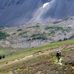
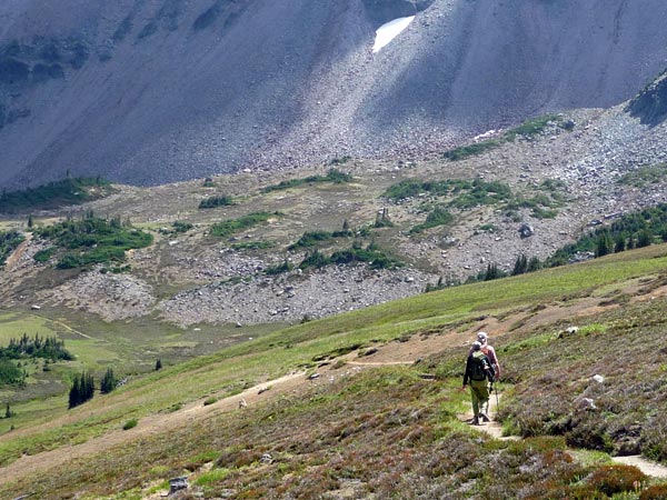
- heading down
-
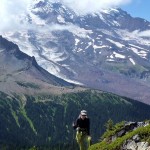
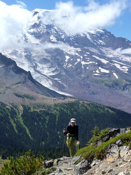
- hiker on the trail skyscraper
-
- skyscraper pass 12
-
- skyscraper pass 10
-
- skyscraper pass 7
-
- skyscraper pass 22

-
- skyscraper pass 2
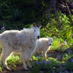
Some hikers prefer trails with a measure of solitude but will make an exception for trails at Sunrise. Why? Some of the best hikes in Mount Rainier National Park begin here and although the window of opportunity is all too brief, when weather is favorable hikers put Sunrise at the top of their wish list.
Several trails branch out from the Sourdough Ridge Trail where you’ll mingle with first-time visitors seeking a stroll for knockout views of Mount Rainier and seasoned backpackers setting out on the Wonderland Trail.
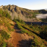
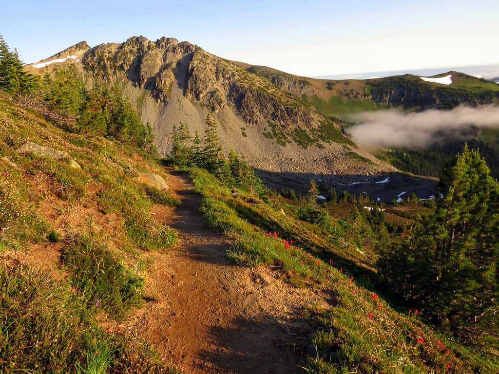
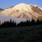
At Sunrise the hike to Skyscraper Pass begins on a short path between the rest rooms and the Lodge that climbs to Sourdough Ridge; trails and junctions are well signed. Turn left at the junction on Sourdough Ridge (the right fork continues to Dege Peak, another spectacular hike). The trail follows the undulating ridge line with ever-expanding views of Mount Rainier and Burroughs Mountain.
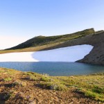
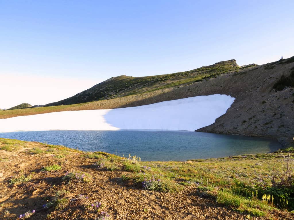
After passing the junction for the Huckleberry Creek trail (right) the trail contours below a talus slope where cubistic rocks form a retaining wall. Just past Frozen Lake you’ll come to a 5-way junction (N 46° 55′ 03″, W 121° 40′ 07″) where many casual hikers call it a day and Skyscraper Peak (northwest of Frozen Lake) comes into view. There are many choices at this junction including Skyscraper Pass via the Wonderland Trail. From the junction follow signs for the Wonderland Trail and Mystic Lake. Though the peak looks far away rest assured it’s closer and easier than it looks.
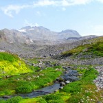
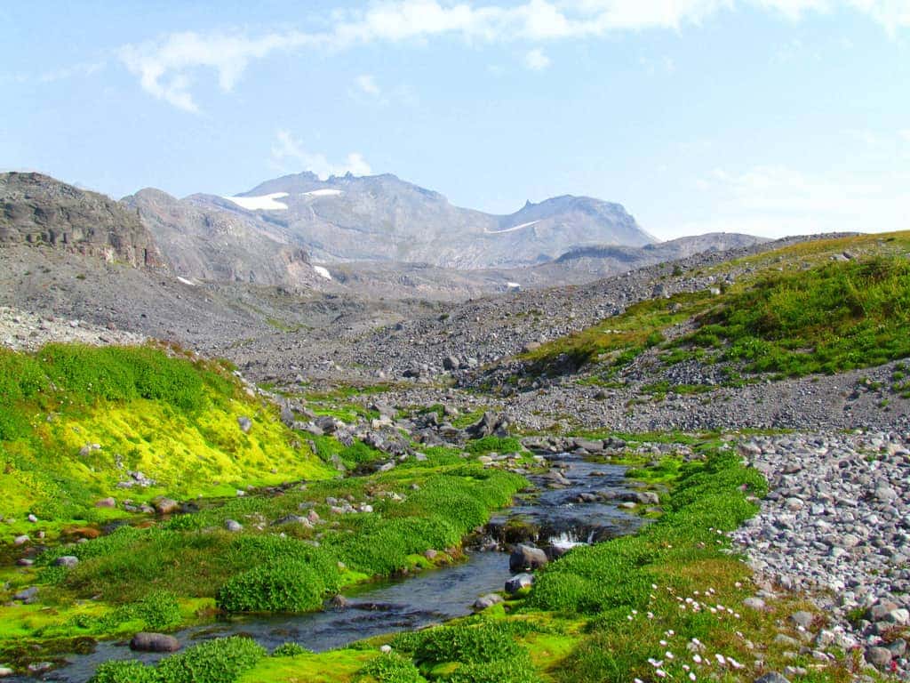
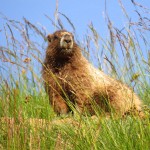
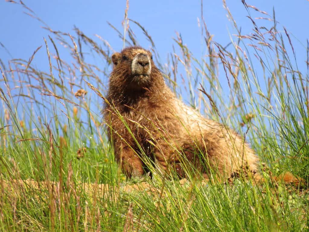
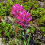
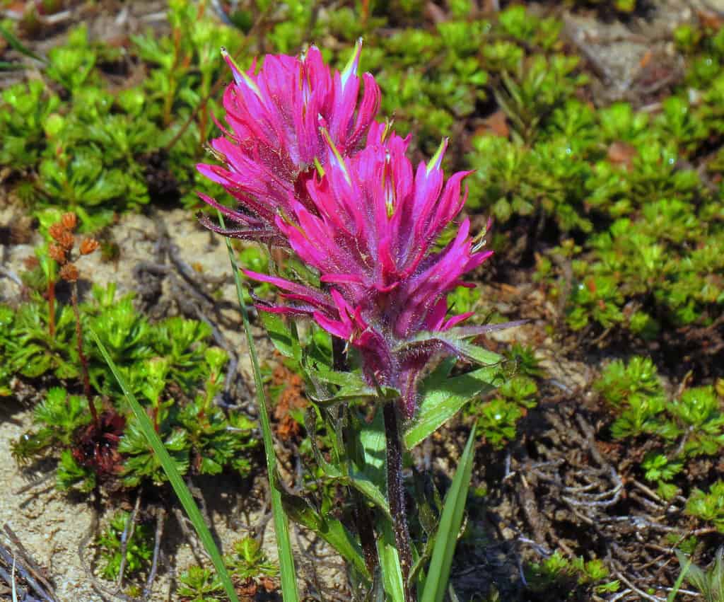
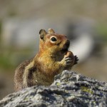
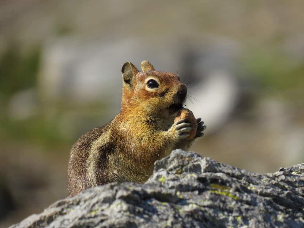
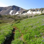
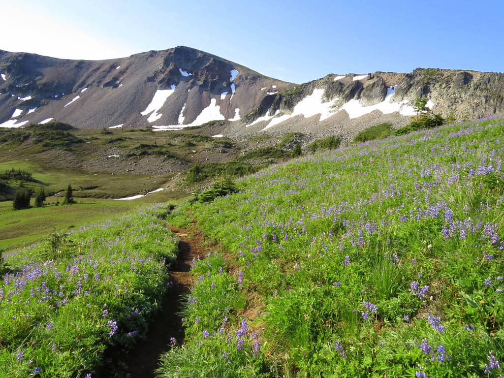
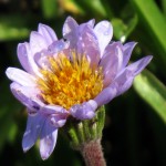
As the trail contoured below Burroughs Mountain marmots whistled, warning of our presence. By late August/early September most flowers have passed their prime though some still blooming in the meadows below Skyscraper Pass including asters, cinquefoil, harebells, magenta paintbrush, yarrow, lupine and bistort. Blue gentians were just starting to bloom in meadows still green.
With ups and downs, it’s about 1,000 feet of elevation gain to sandy Skyscraper Pass (6,735 feet, N 46° 55′ 22″, W 121° 41′ 51″); the pass is not signed but it’s hard to miss. Here the Wonderland Trail continues, descending to campsites at Granite Creek and Mystic Lake; a boot path (right) climbs to Skyscraper Peak. The path is not difficult to follow as it makes a beeline to the peak. This summit is easily within reach of experienced hikers so don’t resist the siren call of the heights; the peak is only 350 feet or so above the pass.
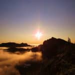
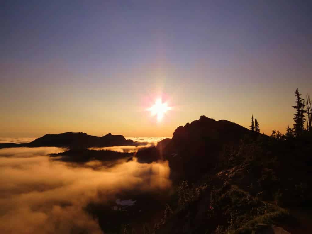
Skyscraper Peak (7,079 feet) is a minor summit but with 360-degree views, enough to give a hiker whiplash. Directly below is the silver squiggle of the White River winding through the White River valley. From here you can also gaze down into the meadows of Berkeley Park but you’ll need the map to identify other peaks and places including Sluiskin, Old Desolate, Moraine Park, Mystic Lake, Grand Park and Vernal Park.
The path is airy but safe; if it makes you nervous find a place to settle where you feel comfortable; the view is grand wherever you come to rest. We chatted and took photographs as a few other hikers climbed to our aerie, including a father and son team from New York. It was their first visit to the park and they were hiking around Mount Rainier on the Wonderland Trail.
Though the flowers are fading, don’t rule out Sunrise yet. Late summer and early fall are always an excellent time to hike and experience the fall colors. With chillier temperatures be sure to include an extra layer of clothing in your pack; temperatures can plummet quickly. Check to be sure Sunrise is open as it often closes early to mid-September.
From Enumclaw go east on Highway 410 to the White River Entrance of Mount Rainier National Park and continue to Sunrise, elevation 6,400 feet. Trail. Allow about 2.5 hours drive time from Seattle.
It is about 7.2 miles round-trip to Skyscraper Pass with about 1,300 feet of elevation gain including ups and downs. Skyscraper Peak is about 7.9 miles round trip with 1,700 feet of gain. The map is Green Trails No. 270 Mount Rainier East. For information on fees, rules and regulations contact Mount Rainer National Park at 360-569-2211 or visit their website at www.nps.gov/mora.
– Karen Sykes, Visit Rainier Hiking Expert
Waypoints
| Starting Point: 46.914444, -121.642222 | |
| Notable Waypoints:
Parking Lot: N 46° 54′ 52, W 121° 38′ 32 |
|