| Area: Chinook Pass |
Hike Type: Dog-friendly | Pass: Northwest Forest Pass |
| Distance: 5 mi RT | Duration: 2.5 hrs | Difficulty Level: Moderate |
| Elevation Start: 2,200 | Elevation End: 3,300 | Elevation Gain: 1,100 |
| Snow-Free: Late-April – Late-Nov |
-
- DSC 9247web

-
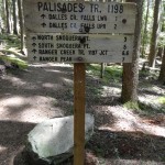
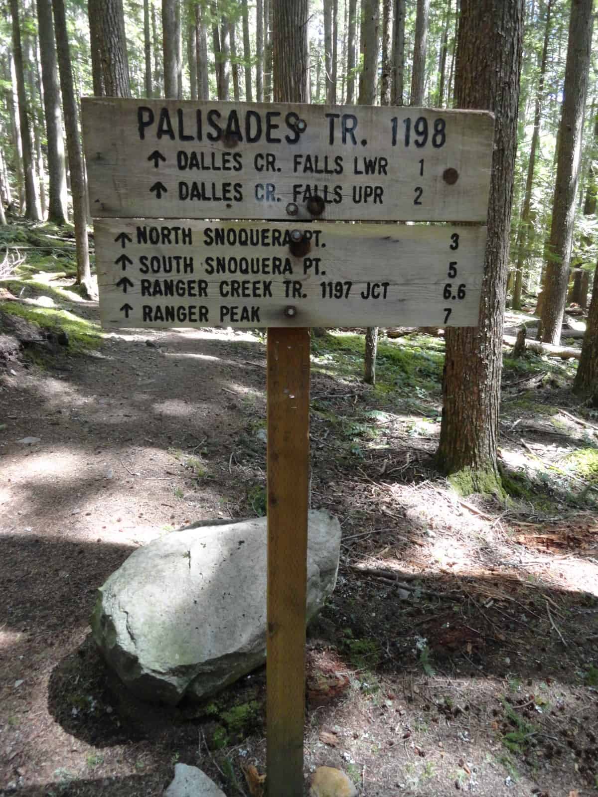
- Trail sign indicating lots of exciting features along the way
-
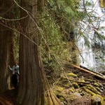
- Towering trees line the canyon floor

-
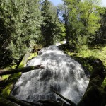
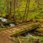
- Beautiful waterfall on Dalles Creek

-
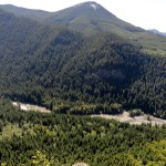
- Good view of White River Valley below

-
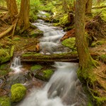
- dalles creek

-
- DSC 9278 stackweb

-
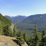
- Good view of White River Valley below 2

-
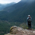
- ParadiseCliff

The first 200 ft. of this trail is ‘gonna’ wake up your calves, I promise. If you aren’t used to steep inclines, this first stretch might make you reconsider hiking the Palisades trail as it’s a good sample of things to come. When you arrive at the junction of #1198, (Palisades Trail) and #1199, (White River Trail), you can decide if you want more of the same or prefer a more level hike to Camp Sheppard and beyond. For more of the same and lots of it, take a left…
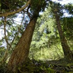
The Palisades Trail is unique because it takes you up through a narrow ravine flanked on each side by 1,100-foot rock walls. Although there are some flat stretches in the beginning and at the end, the middle section of the hike is steep in many places. The trail starts out in second growth trees with the forest floor covered in Salal, Oregon Grape and a thin layer of moss. This is the easy part…
As you gain elevation, the surroundings begin to change. You encounter more rock covered in thick, luxurious moss, lots of vine maple and giant old growth trees. The trail becomes a series of switchbacks between the two rock walls, with the Dalles Creek as your constant companion. There is a short spur trail to a beautiful waterfall and a couple of huge cedars that we fondly call “The Twins”. A few more switchbacks later you encounter a log stairway, which is then followed by yet more switchbacks until finally, you come to the last and more level part of trail. Here you find yourself back in second growth forest once again.
The entire trail to this point is under the cover of the forest. At approximately 2.4 miles from the trailhead you emerge into the light on a rocky point at the top of the Palisades Cliffs. From here you have an incredible view of the White River Valley spread out in front of you, 1,100 feet below. This is a great spot for lunch.
The trail goes on from here, but this is a good destination for the day. If you continue, there is another more open view point and then the trail comes to a large clear-cut. It continues on through that and eventually joins Trail #1197, the Ranger Creek Trail.
The trailhead for this hike is on Highway 410 and not very visible from the road, unless there are other cars already there. If you go by mileage, it is 28.1 miles from Enumclaw. If you go by landmarks, it is JUST past the scenic viewpoint for Skookum Falls. The parking area is a small clearing on the left side of the highway. Slow down as you come to the scenic view or you will fly right by the parking area.
Author’s Note: On our last visit, (June 13, 2009), we encountered a few tricky obstacles. There were a couple of mini-landslides where you had to take a short-cut on the switchbacks. These short-cuts were on soft dirt and loose rock, not solid footing. There was also a very large, fallen tree across the trail that you had to hug tight to get over. We always check with the White River Ranger Station for trail/road conditions before going on any hike: 360-825-6585.
– Mary Janosik, Visit Rainier Hiking Expert
Waypoints
| Starting Point: 47.0491818962032, -121.5702223777771 | |
| Notable Waypoints:
Trailhead: N 47° 02.955, W 121° 34.201 |
|