| Area: Eatonville |
Hike Type: Family-friendly | Pass: No Pass Req |
| Distance: 4.5 mi RT | Duration: 3 hrs | Difficulty Level: Easy |
| Elevation Start: 846 | Elevation End: 1,746 | Elevation Gain: 900 |
| Snow-Free: January – December |
-

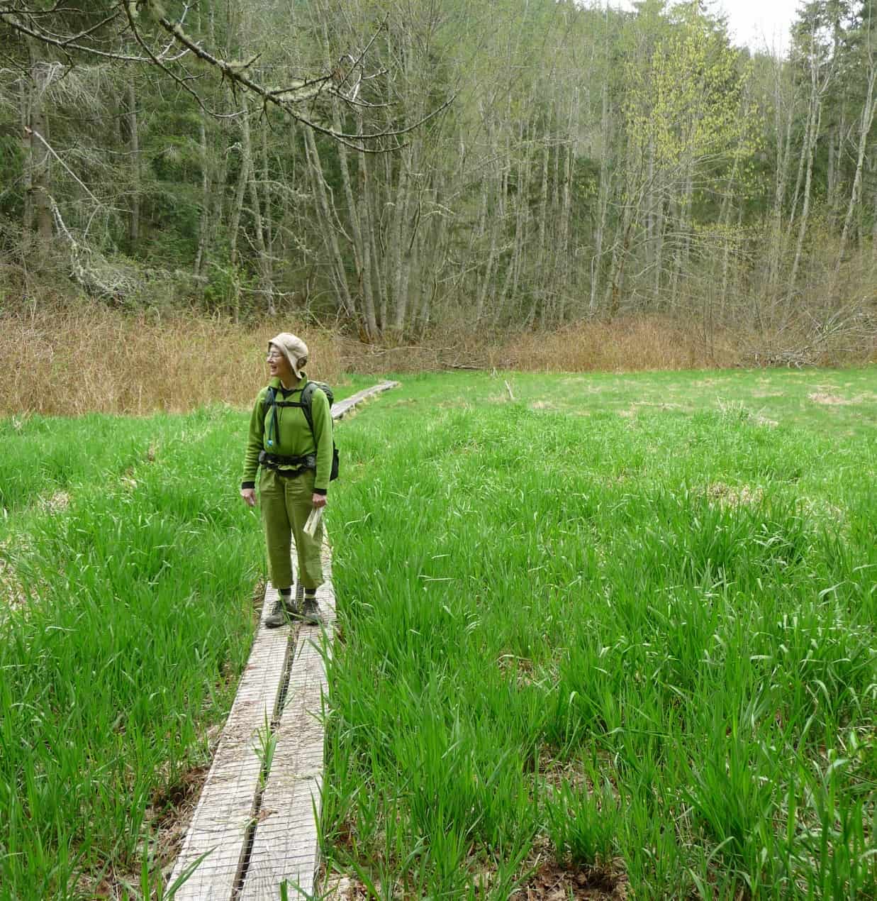
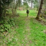
- April day Pack Forest KS
-
- P1020625 KS

-
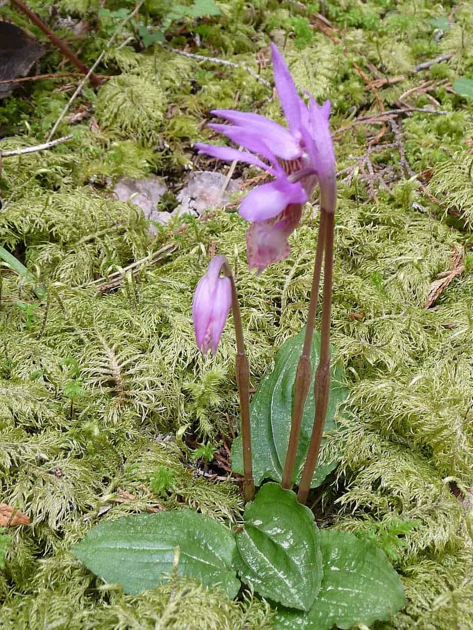
- Calypso Orchid KS
-
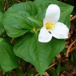
- Trillium insect KS1

-
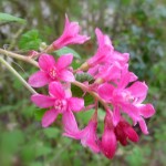
- red flowering currant 2 KS

-
- Green world KS

-
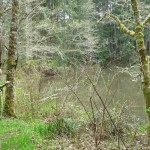
- Resevoir KS

-
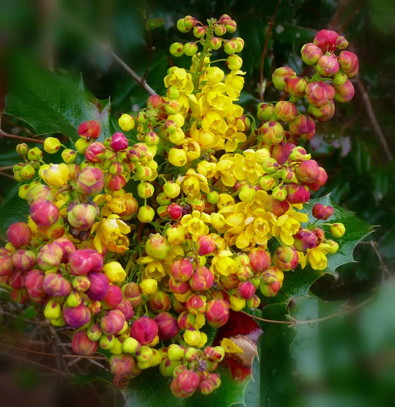
- Oregon grape KS1
Spring is on its way! Soon enough trails all around the mountain will be welcoming hikers of all ages and abilities. For some, however, the symptoms of spring fever are just too overwhelming and the urge to get outdoors and onto the trail is undeniable. If you find yourself in this group, consider a trip to Pack Forest not far from Eatonville and on the way to the Nisqually Entrance of Mount Rainier National Park.
Visit this woodland paradise and track the seasons’ ever-changing moods. Sample habitats ranging from quiet old growth forests to marshes teeming with life. With elevations ranging from 600 to 2,000, feet Pack Forest provides hikers with trails that can be hiked year-round. Pack Forest is also ideal for mountain biking, horseback riding and trail running.
The best time to hike is on weekends when Pack Forest is closed to vehicles; then roads become quiet trails and the forest silent other than the chorus of frogs, the rat-a-tat-tat of woodpeckers and singing birds. In March we thrilled to the flute-like tones of a varied thrush – old-timers sometimes called thrushes the “telephone bird” because their song sounds like the ring of a telephone (and not a cell phone!). Hikes range from short, interpretive trails to longer loops on a combination of trails and gravel roads (some roads are multiple-use).
Park and pick up a trail map at the gatehouse as you enter Pack Forest or drive in to one of two parking lots (both on the left) near the administration buildings. You can also get a brochure for the “Trail of the Giants”. Pack Forest is an elaborate web of roads and trails; you will need the map.
Trails/roads indicated with yellow diamonds are open to hikers; trails/roads marked with blue are also open to equestrians and mountain bikers. In winter and spring trails can be muddy, especially the multiple use trails.
Hugo Peak (1,740 feet) is a popular winter hike and a worthy destination, especially if you include a side trip to nearby Trail of the Giants, a 1-mile loop. On the loop numbered posts indicate points of interest; if you didn’t pick up the brochure at the trailhead you’ll need to use your imagination as to what the numbered posts represent: could it be that nurse log? Or that charred Douglas fir hinting of an ancient forest fire?
It is just a few paces from the parking lots to Road 1000 (Lathrop Drive) and a directional sign. Here the road splits – turn right for Hugo Peak (the left fork leads to other destinations). Since it had rained earlier that morning we started our hike on the road, passing a few outbuildings until the road intersected a well-defined trail (lacking a diamond) and followed that until we reached Kirkland Pass (N 46° 50′ 18″, W 122° 17′ 32″, 1,529 feet). If you are first-time visitor you might find it simpler just to hike the road until you get to Kirkland Pass, a major road/trail junction. Kirkland Pass is named for Burt P. Kirkland, an early supervisor of Snoqualmie National Forest. There are several options for hikers at Kirkland Pass: Follow Road 1080 to Hugo Peak (1,746 feet) or check out Trail of the Giants. Better yet, do both!
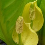
We were a little too early for most spring flowers but we did see Indian plum in bloom and heard frogs singing (a sure sign of spring!). Later in spring look for trilliums, yellow violets, skunk cabbage and red flowering currant.
After our break at Hugo Peak we backtracked to Kirkland Pass to explore “Trail of the Giants”. Here you will marvel at the grandeur of the trees, some over 500 years old, others charred from forest fires. Look for Douglas firs, hemlock and the longest nurse-log we’ve ever seen hosting a conga-line of seedlings, Oregon grape, salal and huckleberry shrubs.
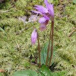
Back at the gatehouse we checked out the 1:100-scale miniature Pack Forest trail, a short side-trip both children and adults will enjoy. Kids will feel like giants when they straddle the Nisqually River and step over Hugo Peak. Later in spring look for dainty Calypso orchids nestled in this mossy setting, a sweet ending to a pleasant day.
Hugo Peak (from the gatehouse) is about 4. 5 miles round trip with about 900 feet of elevation gain. From the visitor parking lot it is about 850 feet of gain. Trail of the Giants is a 1-mile loop with gentle ups and downs.
Getting there: From I-5 in Tacoma take SR 7 south (or SR 161 south from Puyallup) and follow signs toward Mount Rainier. Find Pack Forest (it is well signed) on SR 7, a little west of the junction with SR 161. Park at the gatehouse or continue to visitor parking lots (left).
Restrooms at the gatehouse are closed in the winter. Dogs are permitted but must be under voice control. As a working forest Pack holds regular timber harvests and sales; parts of Pack Forest may be closed during such operations. Visit the Pack Forest website for additional information at www.packforest.org.
– Karen Sykes, Visit Rainier Hiking Expert
Waypoints
| Starting Point: N 46° 50’ 40”, W 122° 18’ 59” | |
| Notable Waypoints:
Entrance/Gatehouse: N 46° 50’ 40”, W 122° 18’ 59” Upper Parking Lot: N 46 °50 ’37”, W 122° 18’ 39” Mill Pond: N 46° 50’ 44”, W 122° 18’ 40” Kirkland Pass: N 46° 50’ 18”, W 122° 17’ 32” Hugo Peak: N 46° 50’ 32”, W 122° 17’ 33” |
|