| Area: Chinook Pass |
Hike Type: Family-friendly, dog-friendly, waterfall | Pass: Northwest Forest Pass |
| Distance: 4.2 mi loop | Duration: 3 hrs | Difficulty Level: Moderate |
| Snow-Free: April – Nov | High point: 3,200 feet | Elevation Gain: 750 feet |
-
- DSC00870
-
- DSC00849
-
- Snoquera Falls
-
- IMG 3199
-
- DSC00672
-
- Snoquera Falls 3
-
- DSC00866

-
- Snoquera Falls 4
-
- DSC00707
-
- DSC00858

Features
Kid-friendly, dog-friendly, impressive waterfall
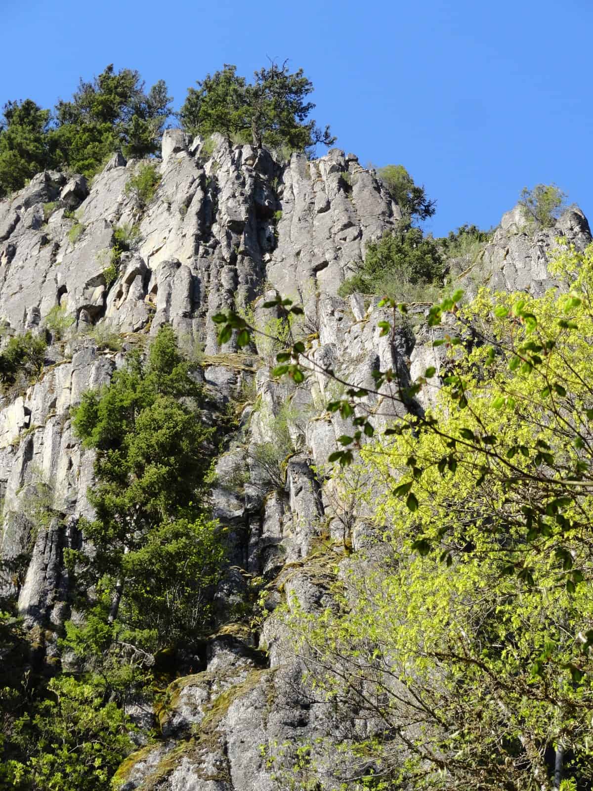
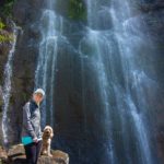
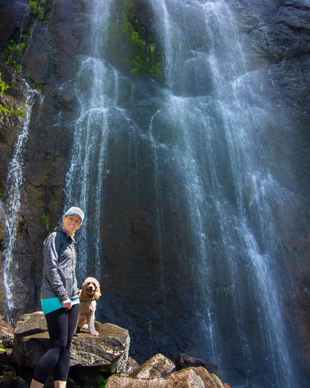
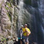
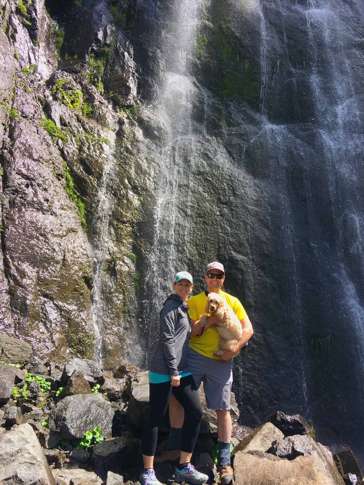
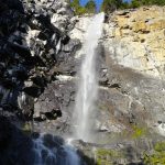
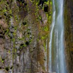
From high on Dalles Ridge, Snoquera Creek plunges more than 400 feet down a sheer rock face. Resembling a scene straight out of Yosemite Valley, Snoquera Falls are indeed a sensational sight. But there’s a catch. If you do this hike late in the summer after a long dry stretch, the falls appear as a mere trickle. Fed primarily by snowmelt, Snoquera Falls are best witnessed in the spring and after periods of heavy rainfall.
Hit the Trail
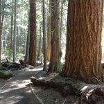
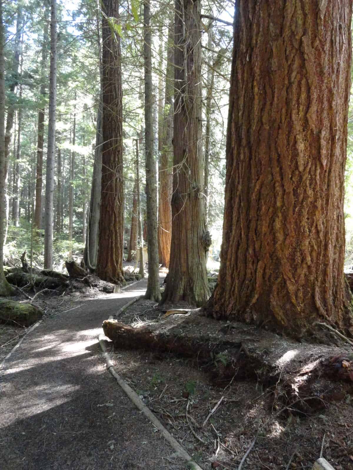
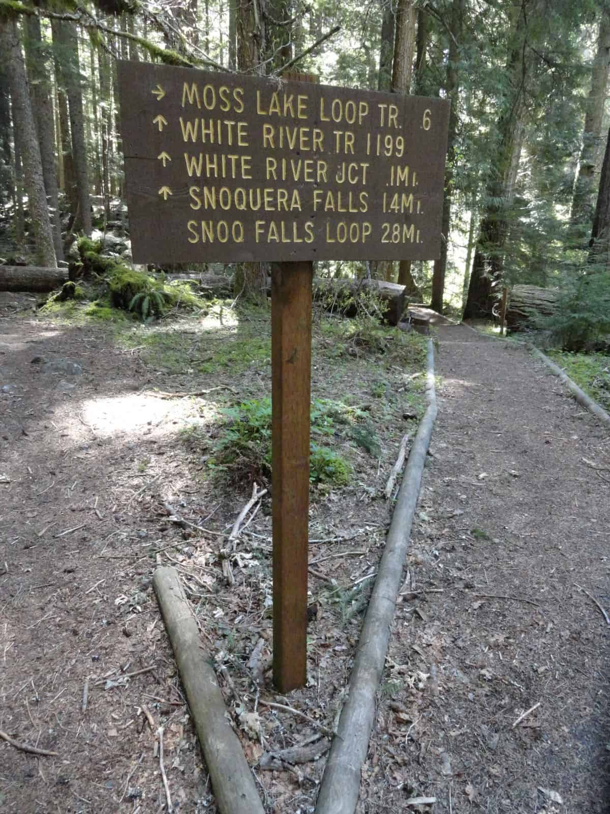
Starting from the Camp Sheppard Trailhead head east immediately coming to an outdoor amphitheater used by the adjacent Boy Scout Camp. Here the beautifully built (by the Scouts) Moss Lake Loop Nature Trail circles around for 0.6 mile. Since the hike to the falls is fairly short, definitely consider adding the Moss Lake Loop to your hike. A good portion of this trail traverses an impressive grove of ancient cedars via boardwalks. While the forest is impressive, don’t expect a grand lake here. Moss Lake is actually a large wetland fed by several tumbling creeks, among them Snoquera Creek.
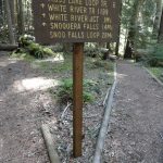
The main trail crosses Snoquera Creek and makes a short little climb to a junction. Here the White River Trail runs north and south for miles through thick timber paralleling but often out and sight and sound of SR 410. You’ll be returning on the White River Trail section to the left. Continue hiking straight now on the Snoquera Falls Trail. Beneath a cool emerald canopy, the well-maintained trail steadily ascends. Stay left at an unmarked junction where a trail leads right to SR 410.
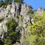
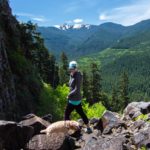
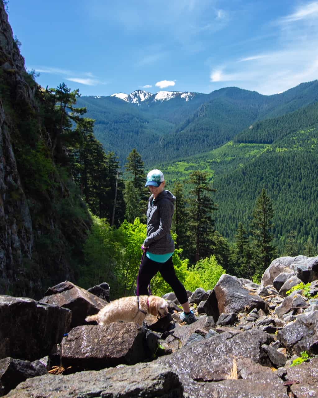
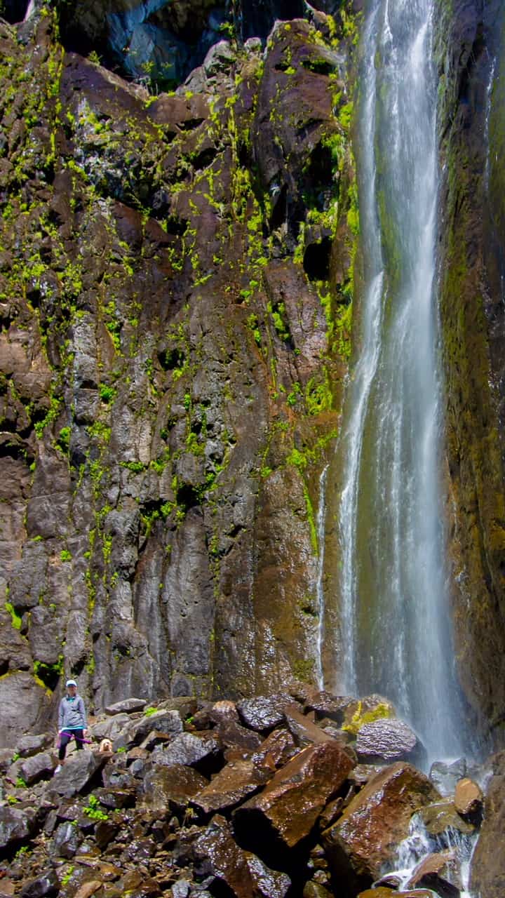
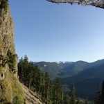
Continue climbing making a couple of sweeping switchbacks. Pass a few big old-growth giants along the way before reaching the forest’s edge at the base of a large wall of sheer cliffs. Look up! Pummeling over that vertical rock for more than 400 feet is Snoquera Creek. The first tier of the fall is nearly 300 feet with water plunging straight down. The second tier of the falls has the creek fanning out. If you’ve hiked in the Yosemite Valley, these falls look like they could be right out of that iconic California national park. But cast a glance westward across the White River and you’ll see Sun Top and its radiating verdant ridges—classic Cascade Mountains.
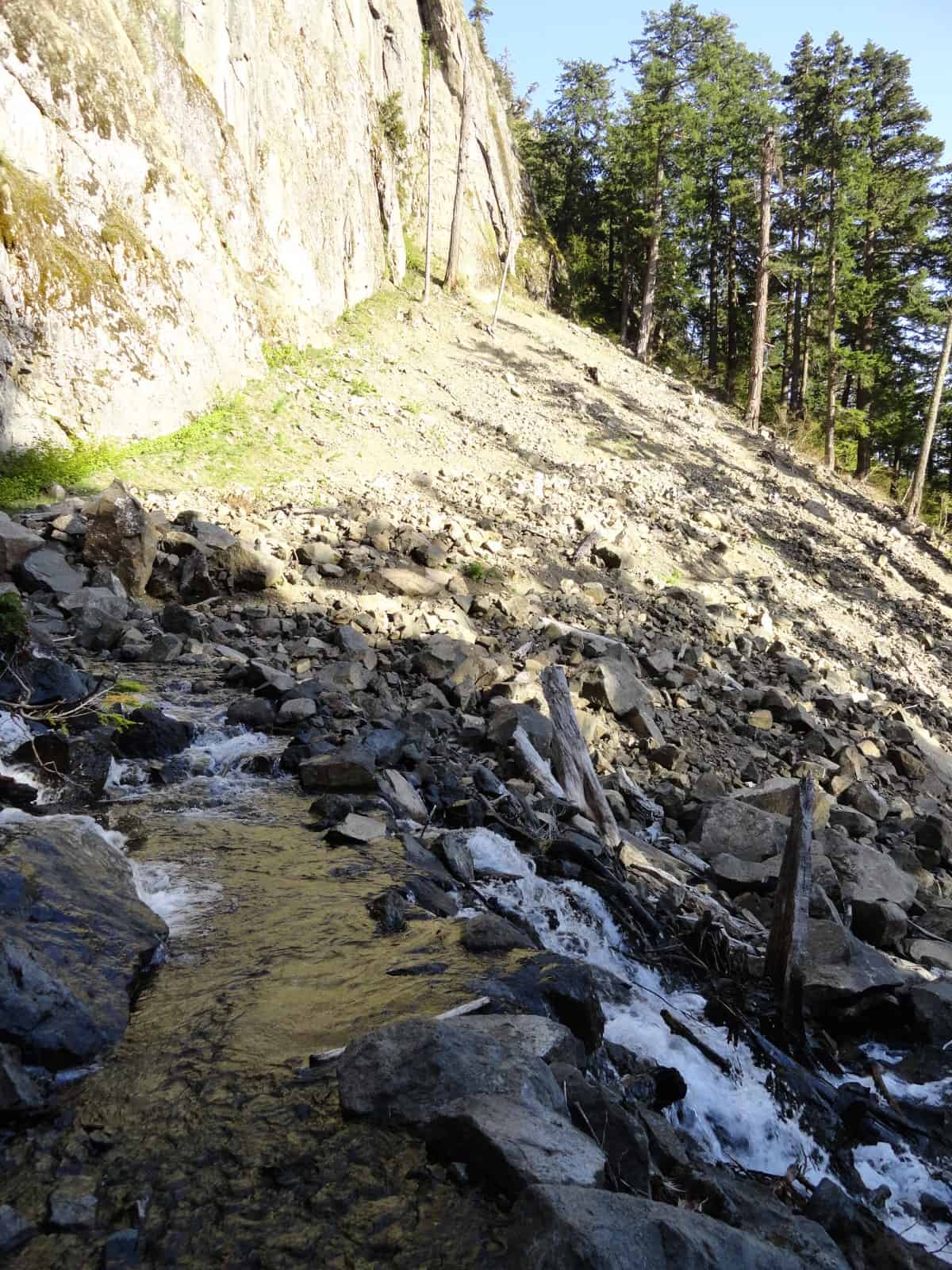
Now work your way across the rockier tread and cross the creek. You’ll need to rock hop or get your feet wet here as there is no bridge. If the creek is too intimidating to cross, call it a hike here and return the way you came. If you can negotiate the creek crossing you’ll soon come to an unmarked junction. Sure-footed hikers may want to take the very rough and steep trail right which toils its way to the base of the falls. Use extreme caution on this route, as it is laden with loose rocks and when wet can be downright hazardous.
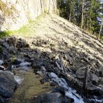
The loop continues north across a decade-old rockslide. The footing may be a little difficult here, but it shouldn’t pose any major problems for most hikers. The way now descends more gently than the approach—traversing beneath high cliffs and making a few switchbacks. At 2.6 miles reach a junction once again with the White River Trail. The way right leads .mile north reaching the Palisade Trail where you can hike a short but steep section to Dalles Falls. Like Snoquera, these falls are most impressive after snowmelt and heavy rainfall, a nary a cascade late in the summer.
Now turn left and head up valley on the White River Trail. On good tread and nearly level hike 1.2 miles through quiet forest skirting Camp Sheppard and returning to a familiar junction. Now head right to return to your start. If you saved Moss Lake for the return, divert onto that loop and savor the serenity before hitting the road to head home.
Notes
Dogs permitted on leash. Please keep dogs on leash. Please clean and properly dispose of any waste.
Contact
Snoqualmie Ranger District, Enumclaw office (360) 825-6585 or www.fs.usda.gov/mbs
Maps: Green Trails Greenwater no. 238
Trailhead Directions
From Enumclaw, follow SR 410 east for 28 miles. Turn left onto Camp Sheppard access road and reach the trailhead in 0.1 miles.
Trailhead Facilities
Privy
Author
– Craig Romano is an author of more than a dozen hiking guidebooks including the newly released 100 Classic Hikes Washington (Mountaineers Books)
Lodging
For accommodations nearest Snoquera Falls click here.
Waypoints
| Starting Point: N47 02.153 W121 33.599 | |
| Notable Waypoints:
Base of falls: N47 02.364 W121 33.214 |
|